
NOTE: The following summary information is to help with hike selection and is not intended to be used for hiking the trail. For your safety and enjoyment, please obtain a copy of Sedona Hiking Guide which is available here.
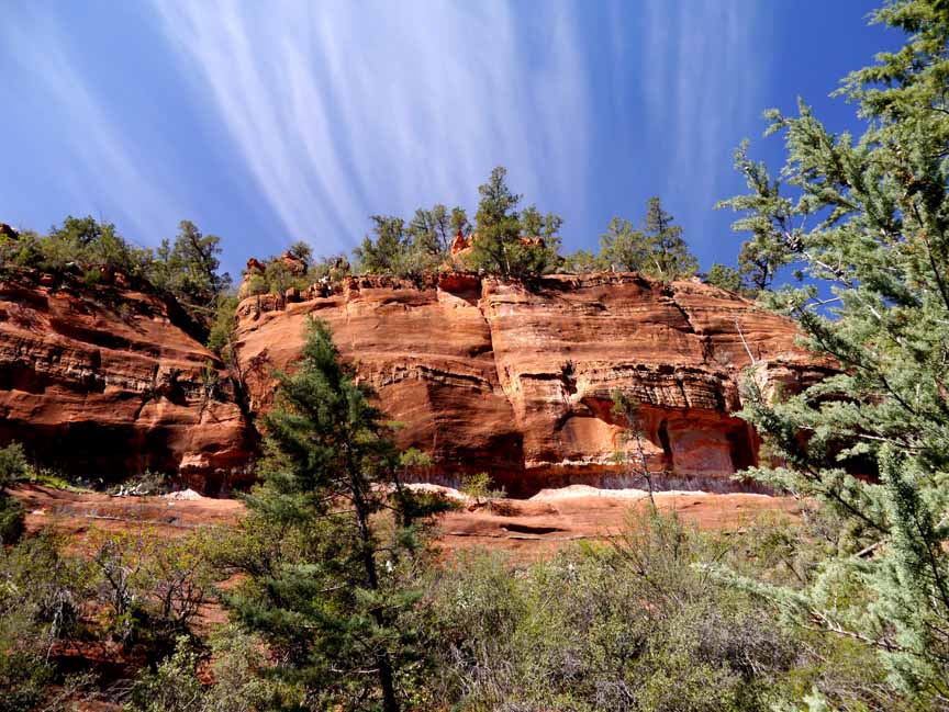
Summary: A beautiful, solitary hike in a forest with red rock views
Challenge Level: Moderate
Hiking Distance: About 3 miles each way; 6 miles round trip
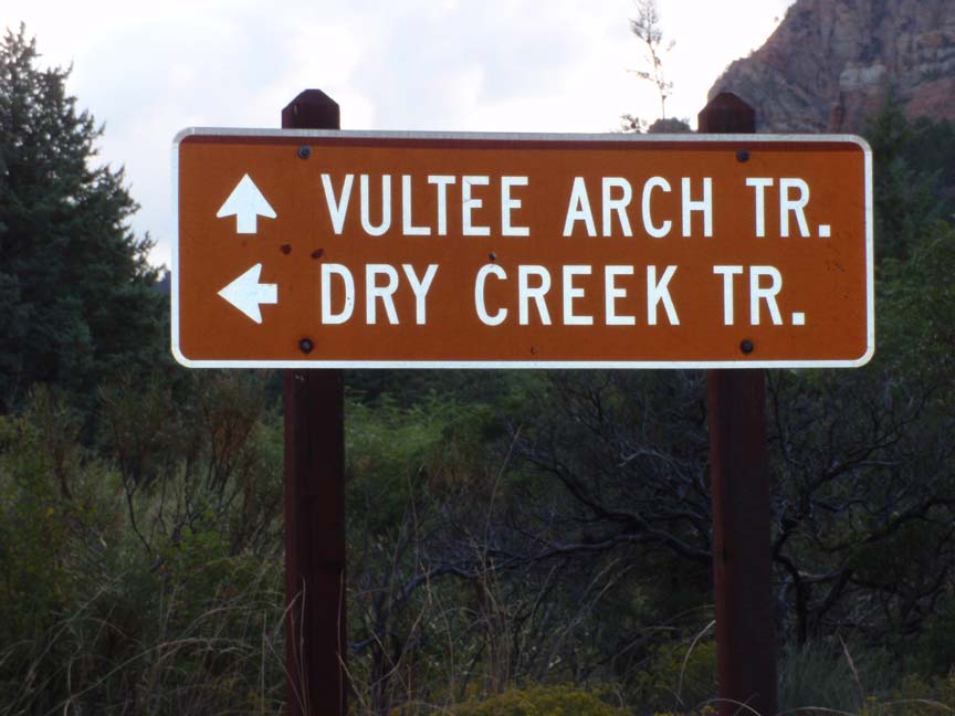
Trailhead Location: The trail begins off of FR 152. NOTE: FR 152 is an extremely rough road and a high clearance vehicle is required. The parking area is the same as used for the Vultee Arch trail
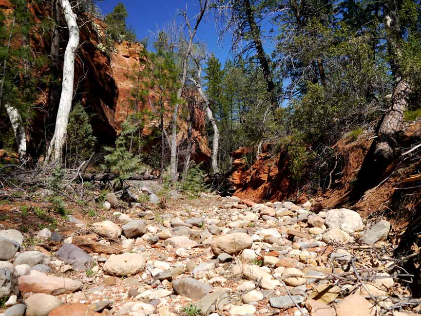
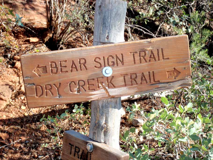
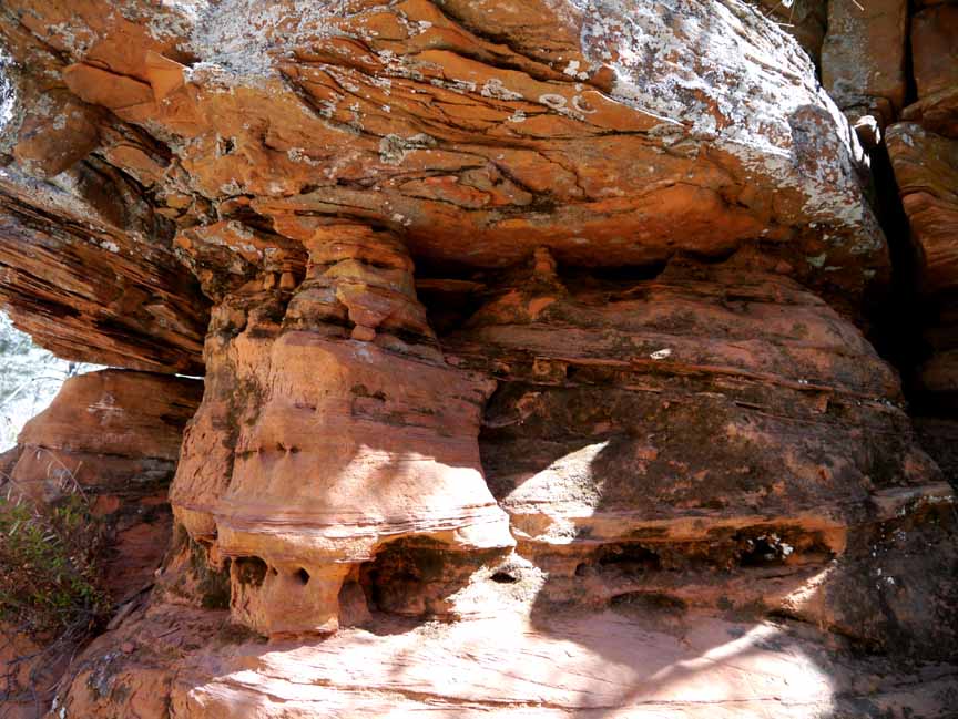
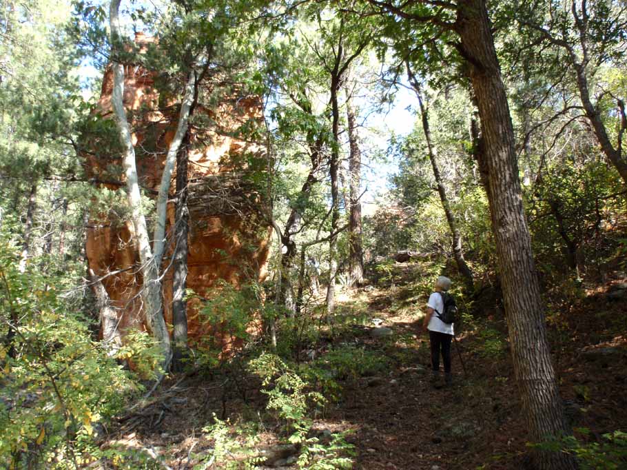
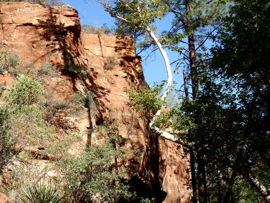
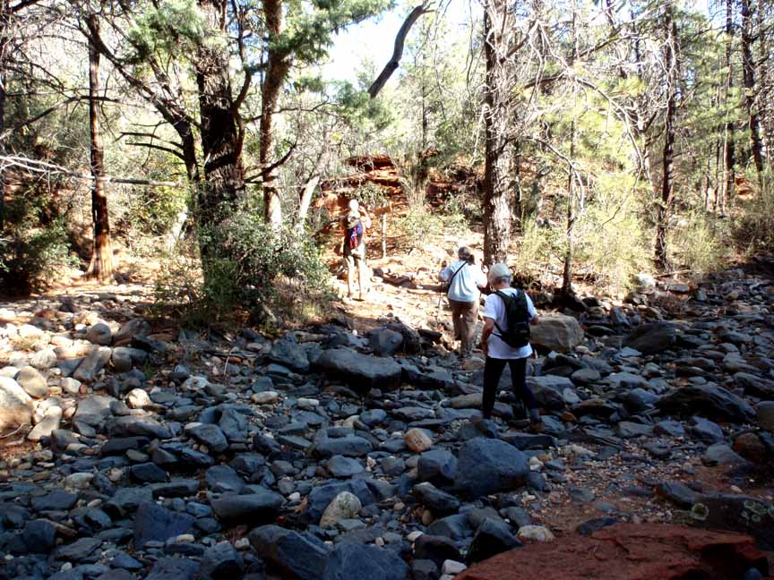
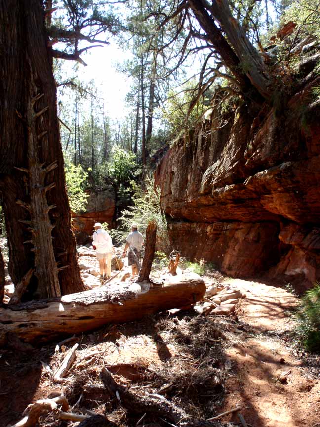
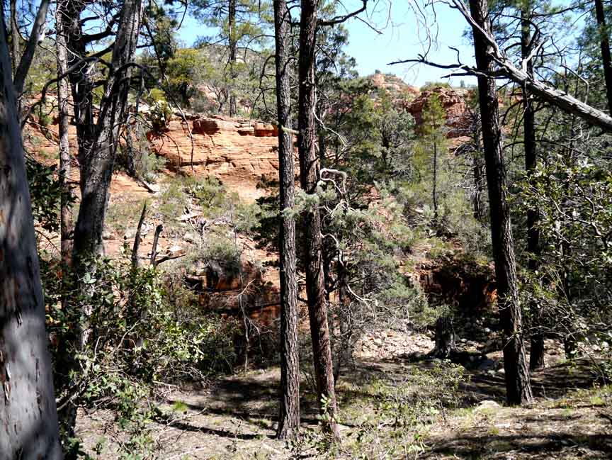
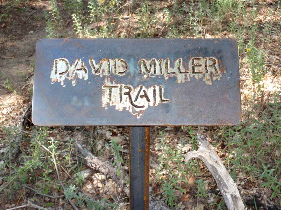
Description: You'll be hiking in the forest and there is shade. The trail is relatively flat and sandy. After about 0.6 miles, you'll come to a fork where the Dry Creek Trail goes to the right and the Bear Sign Trail begins to the left. You'll continue to hike in the forest, along Bear Sign Wash. We saw a large Doe and signs of bear along the trail. We hiked to the intersection of the David Miller Trail. We hiked up the David Miller Trail about 0.2 miles to a lovely view spot.
Here's a link to a short video of the Bear Sign Trail (http://youtu.be/yV8fGhDdL-8)
For those of you who have a GPS unit, I have GPS data available for the hike which include "tracks," the route and waypoints.
Great Sedona Hikes
Last Updated March 31, 2021
Web Page by Bill Bohan (hikebook@greatsedonahikes.com)
send an email
with your comments/suggestions to Bill