NOTE: The following summary information is to help with hike selection and is not intended to be used for hiking the trail. For your safety and enjoyment, please obtain a copy of Sedona Hiking Guide which is available here.
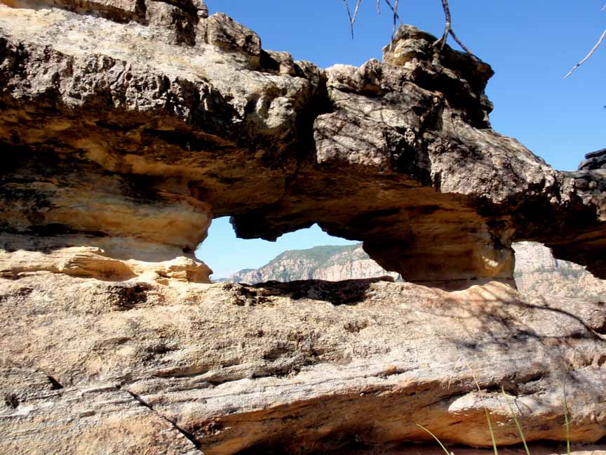
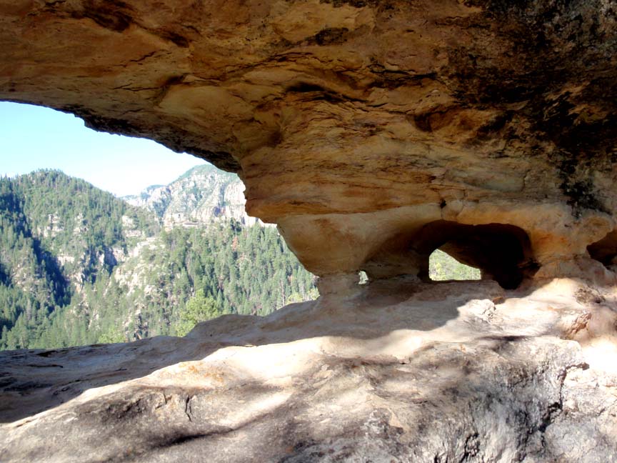
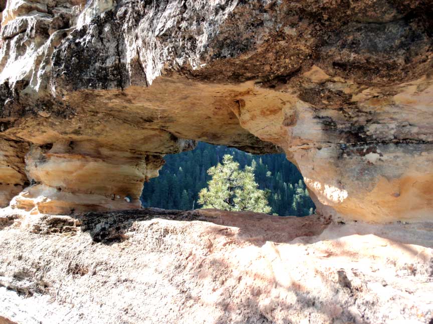
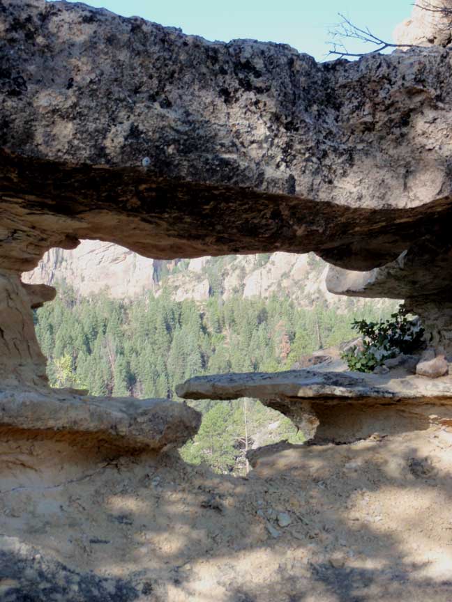
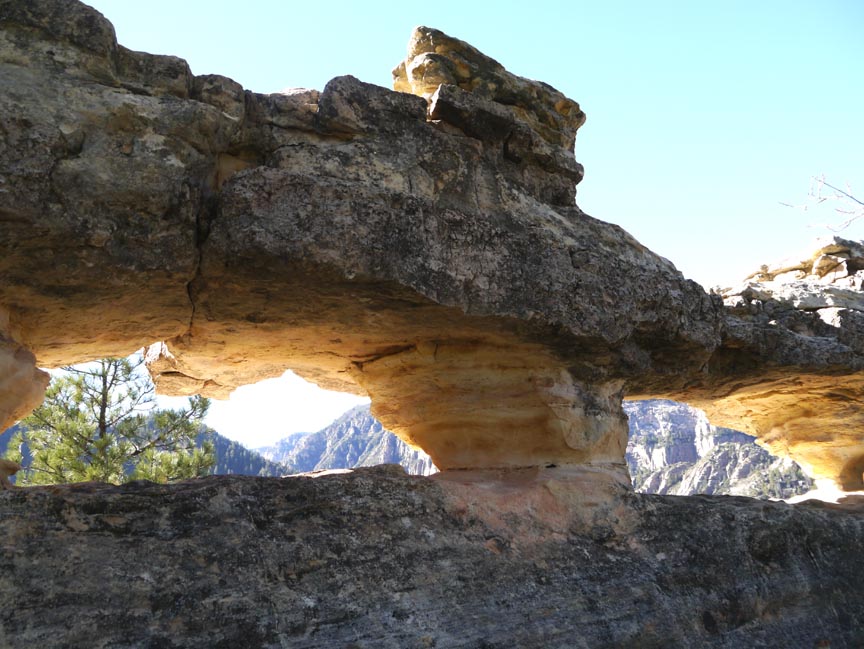
Summary: A short but steep hike up the east side of Oak Creek Canyon leading to an amazing "window" rock formation
Challenge Level: Hard (Note: the trail is VERY steep in places, with loose sand, rock and pine needles. Do not attempt in wet weather or if there is snow on the trail.)
Hiking Distance: About 1.3 miles to the end of the trail on top of the east side of Oak Creek Canyon. You'll be climbing up 1000 feet. If you hike north, you can go cross-country and intersect the Harding Springs Trail (see below) which adds another 2.3 miles.
Trailhead Location: The parking area located along SR 89A, north of Sedona.
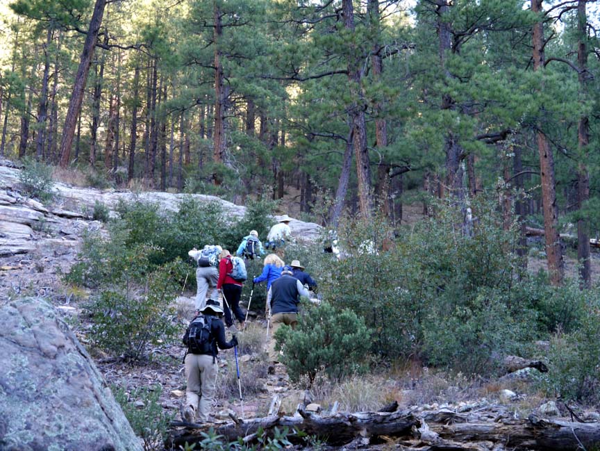
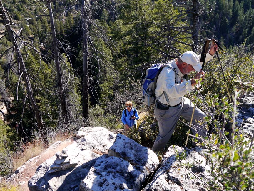
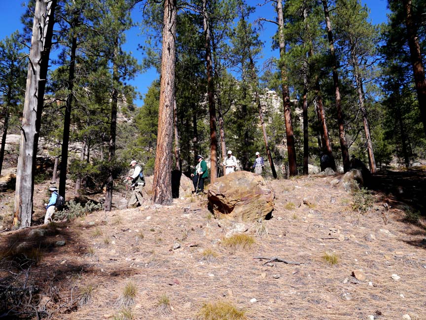
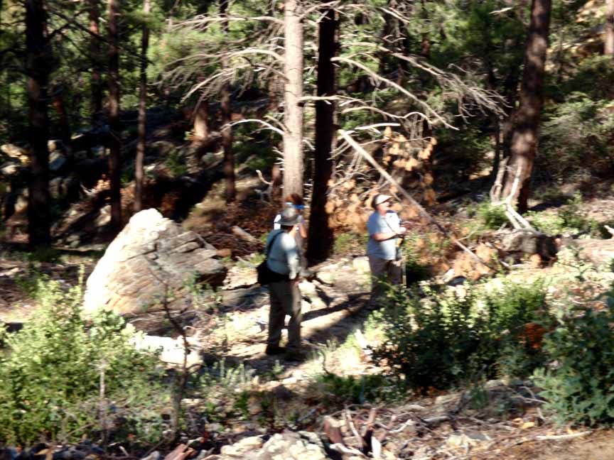
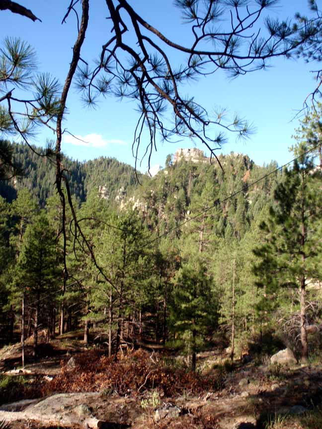
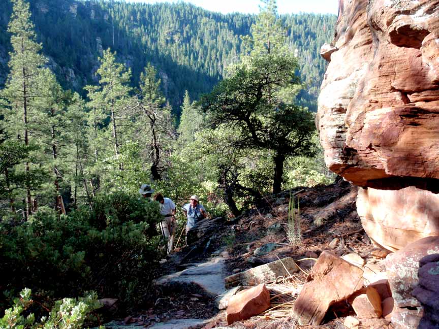
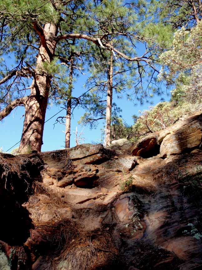
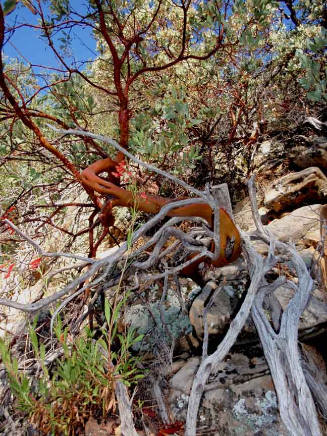
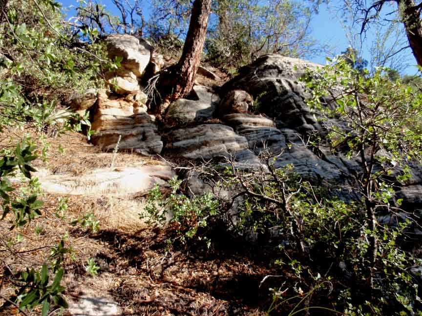
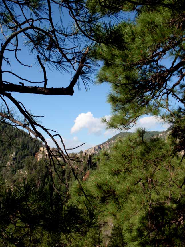
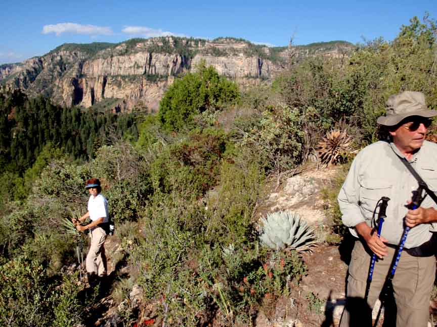
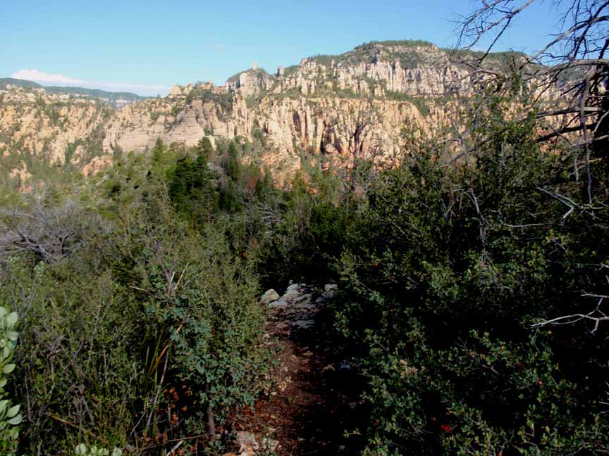
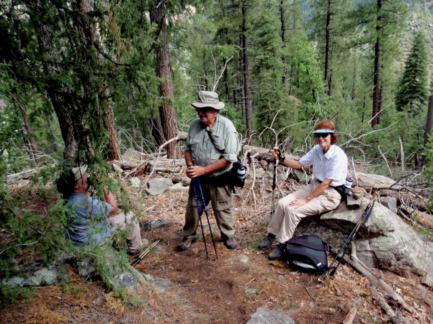
Description: The trail begins by following along north-bound SR 89A under a telephone line (hence the name of the trail). After 0.3 mile you turn away from SR 89A and begin a series of steep ascents and come to several nice ridges. Along the way there are some very nice rock formations and scenic views of Oak Creek canyon. At 0.6 miles you'll come to a series of "window" or "keyhole" rocks. This would be a good place have a snack, take some photos and turn back if you don't want to continue on the very steep trail ahead. If you continue on, watch your footing. The trail ends when you reach the top of the east wall of Oak Creek Canyon.

For those of you who have a GPS unit, I have GPS data available for the hike which include "tracks," the route and waypoints.