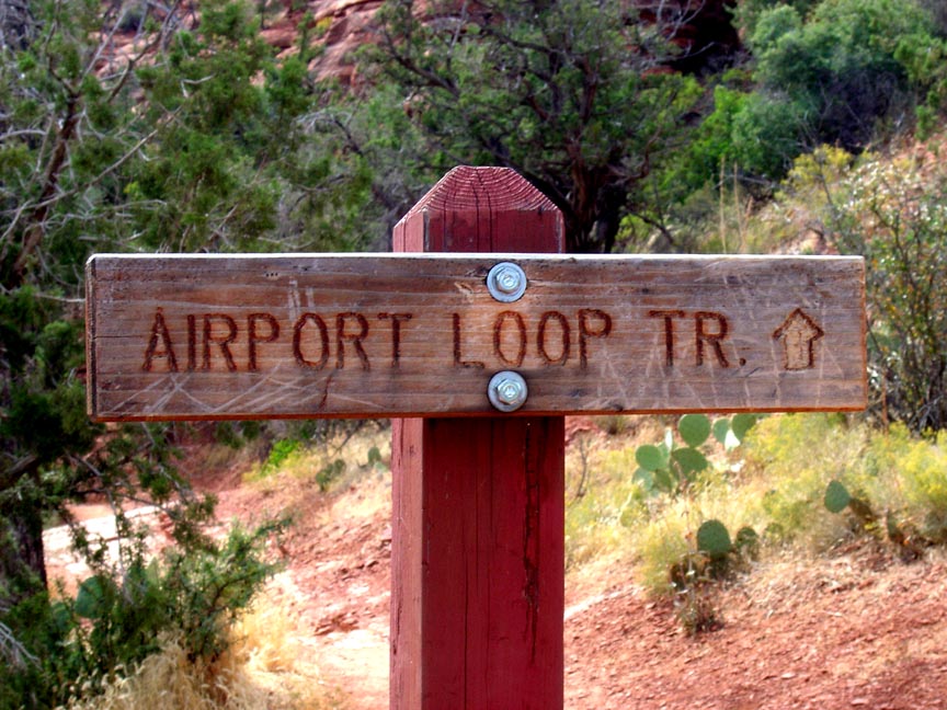
Airport Loop Hike
NOTE: The following summary information is to help with hike selection and is not intended to be used for hiking the trail. For your safety and enjoyment, please obtain a copy of Sedona Hiking Guide which is available here.
Summary: This hike circles the Sedona airport.
Challenge Level: Moderate
Hiking Distance: Approximately 3.25 miles around, but add another 1.0 mile if you hike the Tabletop Trail and another 0.8 mile if you hike from the Bandit Trail
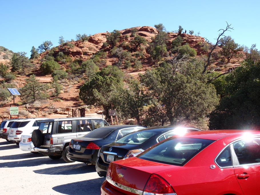
Trailhead Location: The main trailhead is located on Airport Road. There is a secondary parking area at the Airport Scenic View
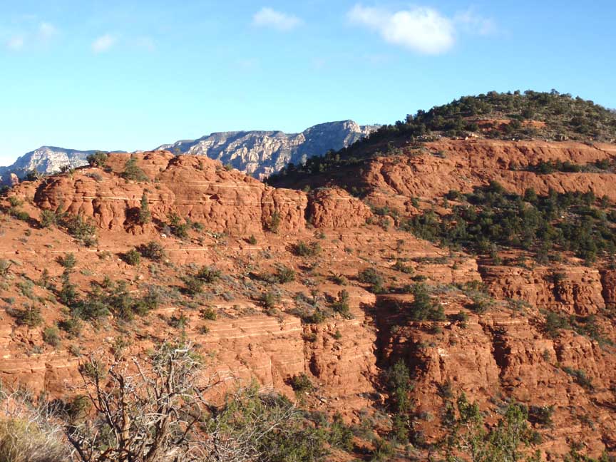
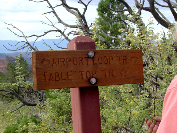
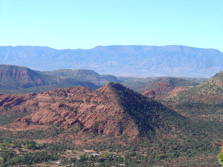
Description: This loop hike provides great views of Cathedral Rock. Be sure to hike the Tabletop Trail about 0.5 mile to its end. There seems to be a pyramid-shaped red rock formation out at the end of the Tabletop Trail. Were we visited by aliens many thousands of years ago???? The hike provides nice views of Coffeepot Rock on the north side of the hike. Here is a link to a video of a Airport Loop hike.
From the Airport Road trailhead, it is a short hike to the vortex located here. See the Airport Vortex Hike.
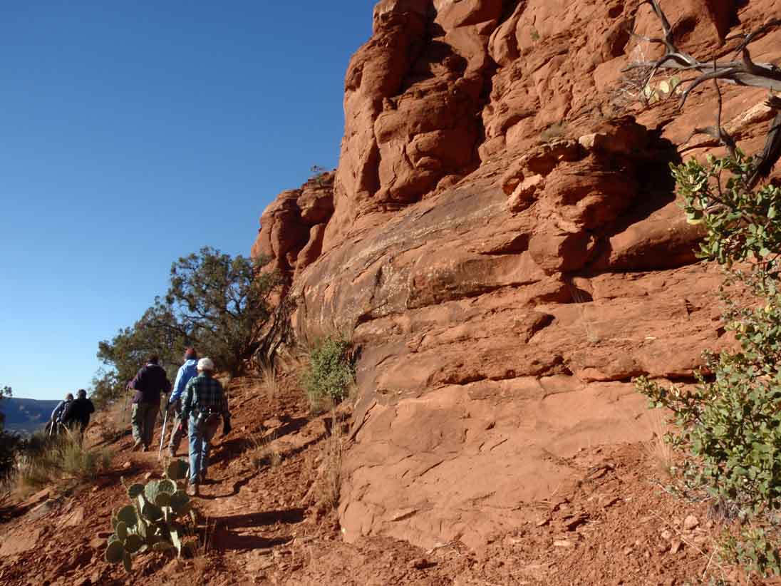
Note: The Airport Loop Trail is very rocky and there are steep drop-offs on the south side of Airport Mesa. Don't attempt this hike if a narrow trail and steep drop-offs are a problem.
Click on the photos below for a bigger view


For those of you who have a GPS unit, I have GPS data available for the hike which include "tracks," the route and waypoints.
Great Sedona Hikes
Last Updated March 31, 2021
Web Page by Bill Bohan (hikebook@greatsedonahikes.com)
send an email
with your comments/suggestions to Bill