


NOTE: The following summary information is to help with hike selection and is not intended to be used for hiking the trail. For your safety and enjoyment, please obtain a copy of Sedona Hiking Guide which is available here.
Summary: A loop hike around the base of Chimney Rock in West Sedona
Challenge Level: Moderate
Hiking Distance: About 2 miles
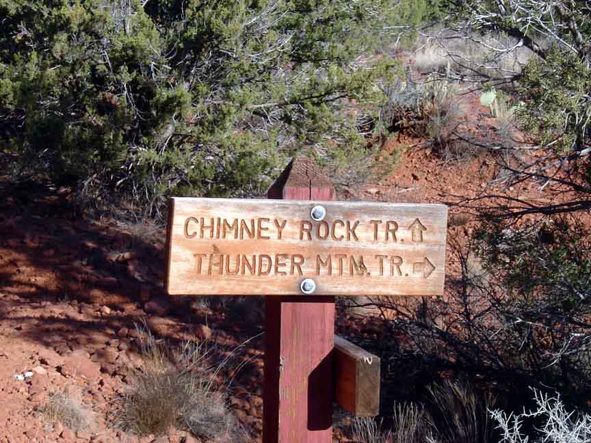
Trailhead Location: The parking area is off of Thunder Mountain Road
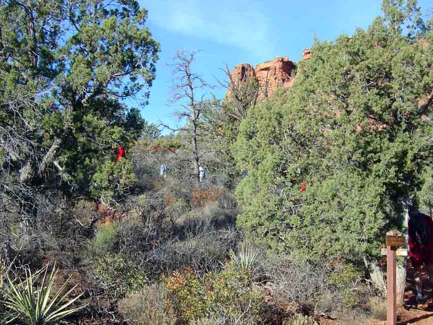
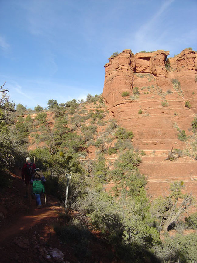
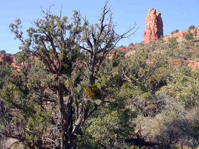
Description: The Chimney Rock Upper Loop trail is actually a 2 mile loop around Chimney Rock, which is also known as 'Three Fingers'; you'll see the reason for the second name part-way around the loop. The trail starts at Thunder Mountain trailhead and is a moderate hike unless you climb the little 1/4 mile Sugarloaf side trail which can be considered strenuous.
Here's a link to a video of the hike (http://youtu.be/tQLpKqEIAAs)


For those of you who have a GPS unit, I have GPS data available for the hike which include "tracks," the route and waypoints.
Great Sedona Hikes
Last Updated March 31, 2021
Web Page by Bill Bohan (hikebook@greatsedonahikes.com)
send an email
with your comments/suggestions to Bill