

GREAT SEDONA HIKES
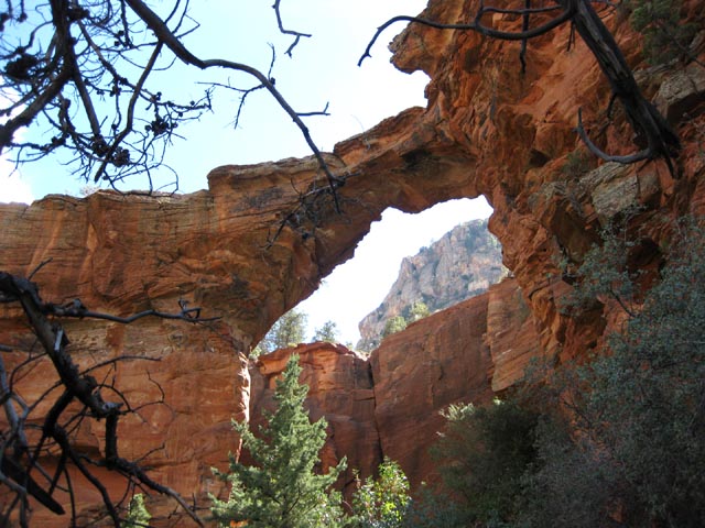
Devil's Bridge Hike
NOTE: The following summary information is to help with hike selection and is not intended to be used for hiking the trail. For your safety and enjoyment, please obtain a copy of Sedona Hiking Guide which is available here.
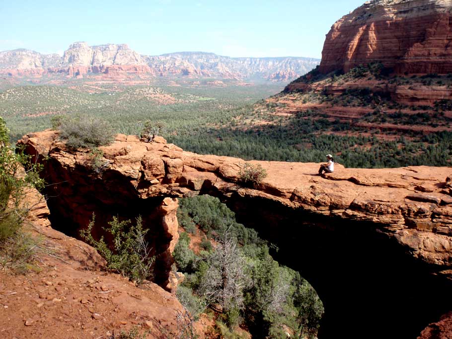
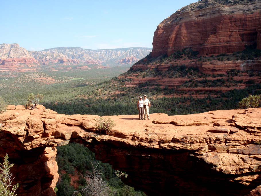
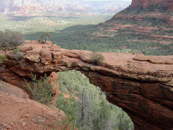
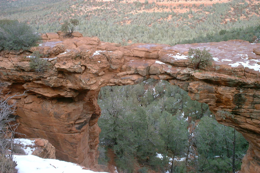
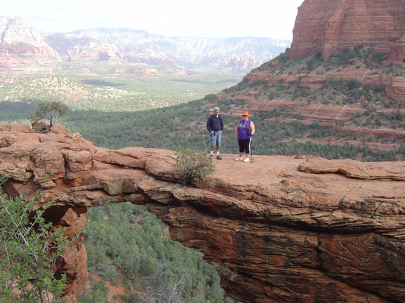
Summary: A steep hike up to the largest natural stone arch in the Sedona area
Challenge Level: Moderate
Hiking Distance: About 1 mile each way, 2 miles round trip from the Devil's Bridge parking area: 2.1 miles each way, 4.2 miles round trip from the parking area on Long Canyon Road, 6 miles from the Dry Creek Vista parking area.
Trailhead Location: The main parking area is located on FR 152. FR 152 is a very rough dirt road so a high clearance vehicle and 4-wheel drive are strongly recommended. You can also take the Chuck Wagon Trail to reach Devil's Bridge by parking at the Dry Creek Vista parking area or by parking on Long Canyon Road
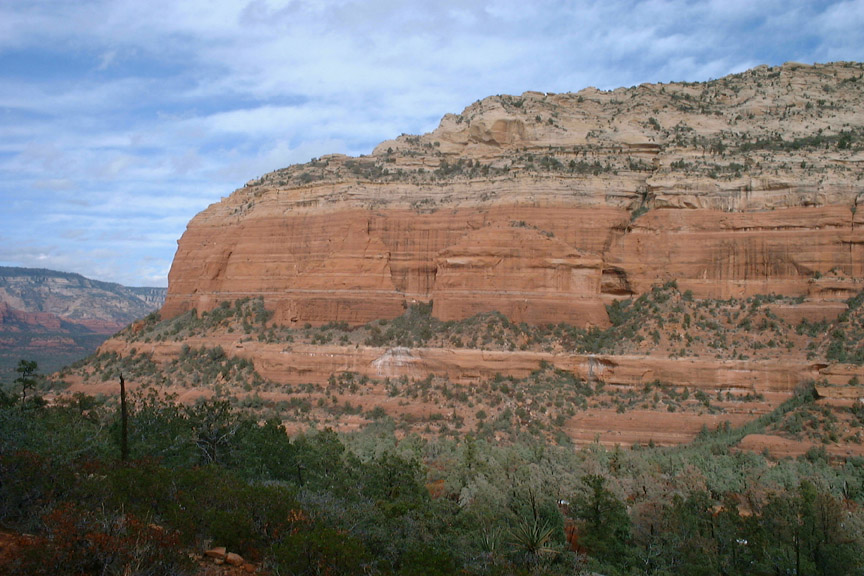
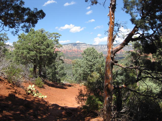
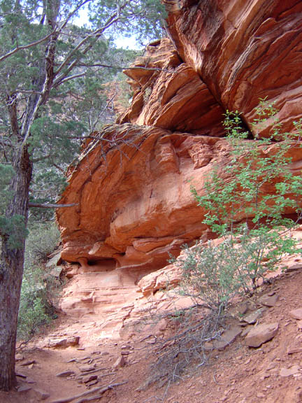
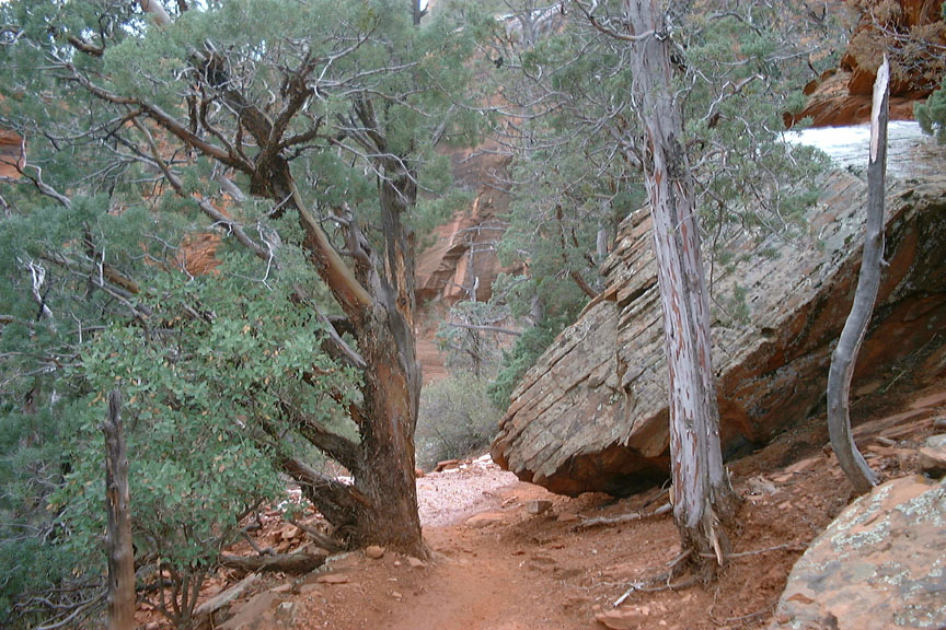
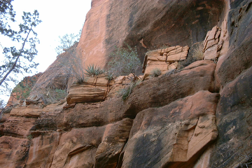
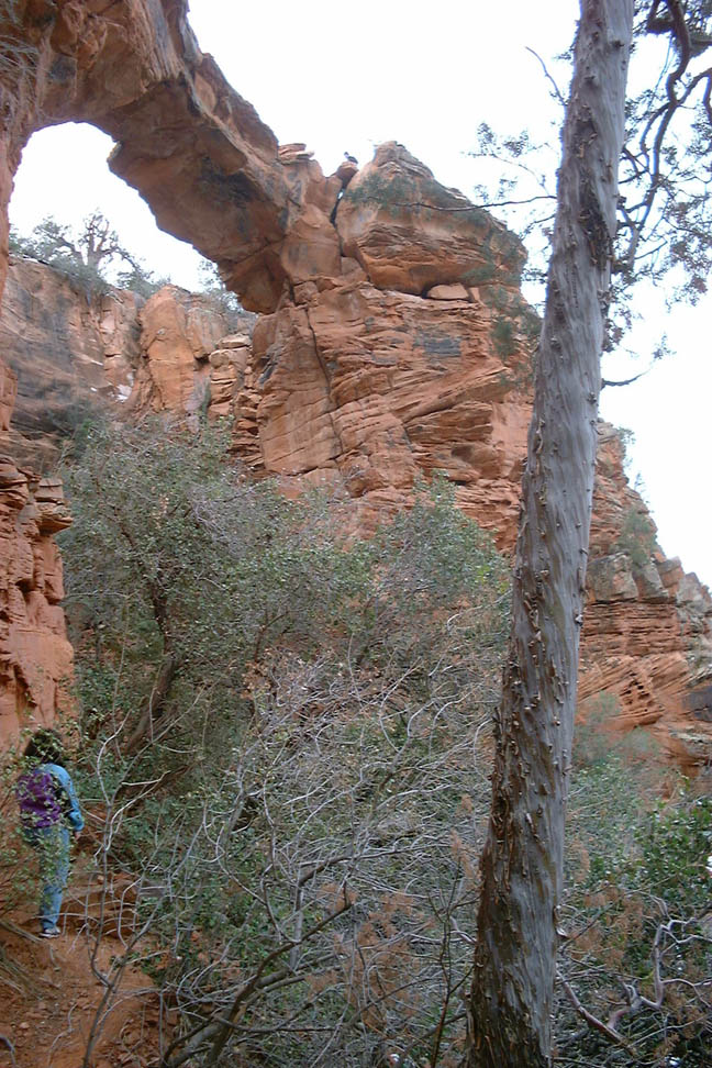
Description: Devil's Bridge is one of the most popular hikes in Sedona. So if you are looking for quiet solitude, you won't find it here. People sometimes wait in line to have their photo taken on the Bridge.
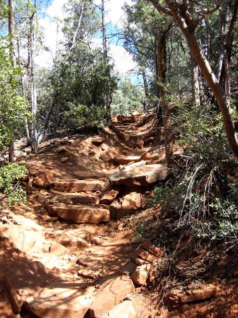
From the Devil's Bridge parking area (located on FR 152) it is about 1 mile to the arch and the view of the arch is well worth the climb. The trail splits about 3/4 miles up. The right trail goes to the top of the arch and the left trail goes beneath the arch. You'll be climbing up then on the way back, down some very steep natural stone steps (with no hand rails) so if you have a fear of heights, or the trail is wet or icy, you will want to be extra careful on this hike.
Here's a video of the hike

For those of you who have a GPS unit, I have GPS data available for the hike which include "tracks," the route and waypoints.
Great Sedona Hikes
Last Updated March 31, 2021
Web Page by Bill Bohan (hikebook@greatsedonahikes.com)
send an email
with your comments/suggestions to Bill