
NOTE: The following summary information is to help with hike selection and is not intended to be used for hiking the trail. For your safety and enjoyment, please obtain a copy of Sedona Hiking Guide which is available here.
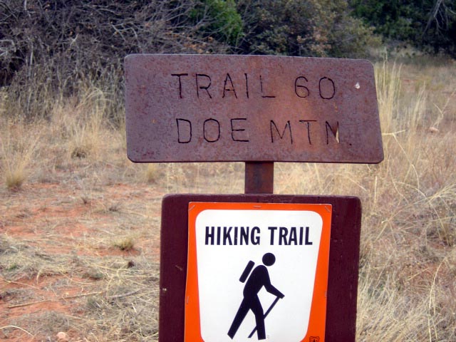
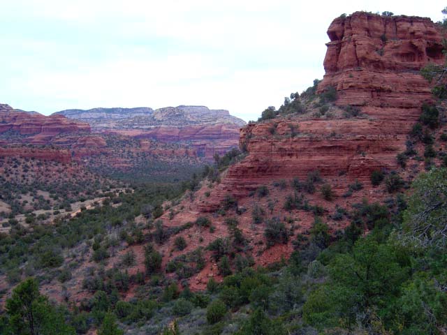
Summary: This hike circles around the top of Doe Mountain
Challenge Level: Moderate
Hiking Distance: About 2.6 miles round trip
Trailhead Location: The parking area is located on Boynton Pass Road. The parking area serves the Doe Mountain and Bear Mountain hikes.
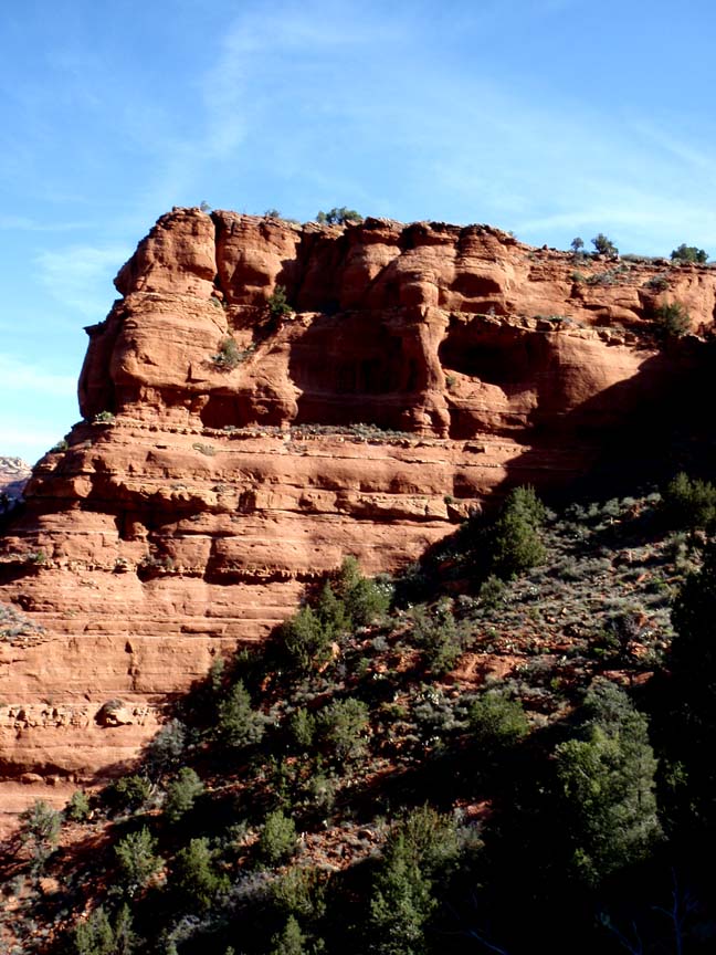
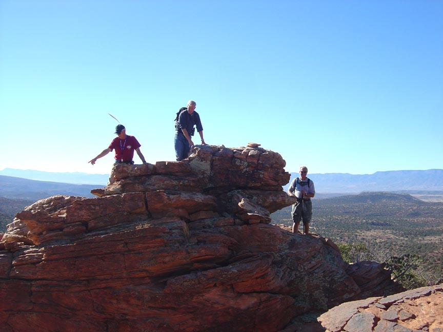
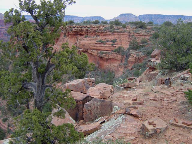
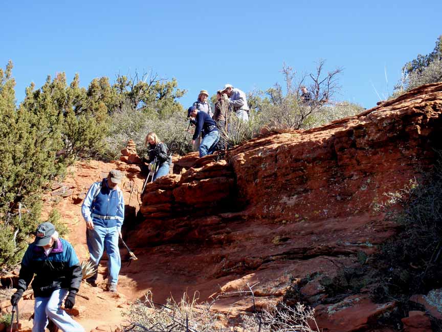
Description: The hike is somewhat steep to get to the top of Doe Mountain. You�ll be hiking up switchbacks. And there are places where the trail is narrow with large drop-offs. As you approach the top, you�ll be passing through a narrow slot in the rocks.
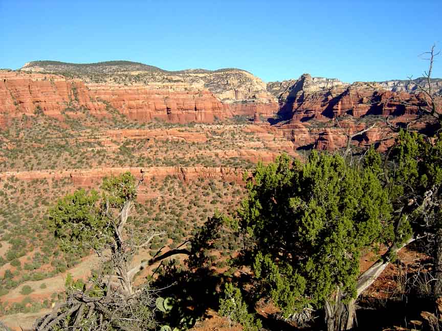
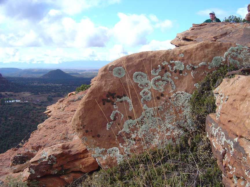
Doe Mountain provides great views in all directions. Make sure you are wearing hiking boots to protect your ankles form the cactus you�ll be stepping over. We attempted to fly some kites on our April 2011 hike. Here's a link to a the video of that hike (http://youtu.be/5-BqdhmlzHs).
And here's a link to an October hike (http://youtu.be/Uvebh5aFuKo).


For those of you who have a GPS unit, I have GPS data available for the hike which include "tracks," the route and waypoints.
Great Sedona Hikes
Last Updated March 31, 2021
Web Page by Bill Bohan (hikebook@greatsedonahikes.com)
send an email
with your comments/suggestions to Bill