
NOTE: The following summary information is to help with hike selection and is not intended to be used for hiking the trail. For your safety and enjoyment, please obtain a copy of Sedona Hiking Guide which is available here.
Summary: A pleasant hike through a canyon with wonderful views
Challenge Level: Easy to Moderate
Hiking Distance: About 1 1/4 miles each way, 2 1/2 miles round trip
Trailhead Location: The parking area is located on Boynton Pass Road. The trailhead is across the road from the parking area.
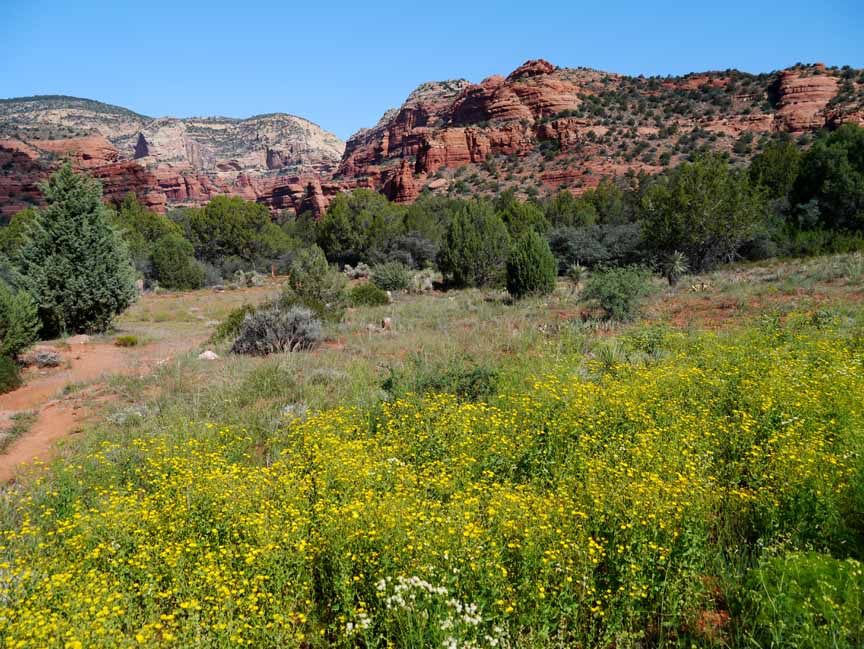
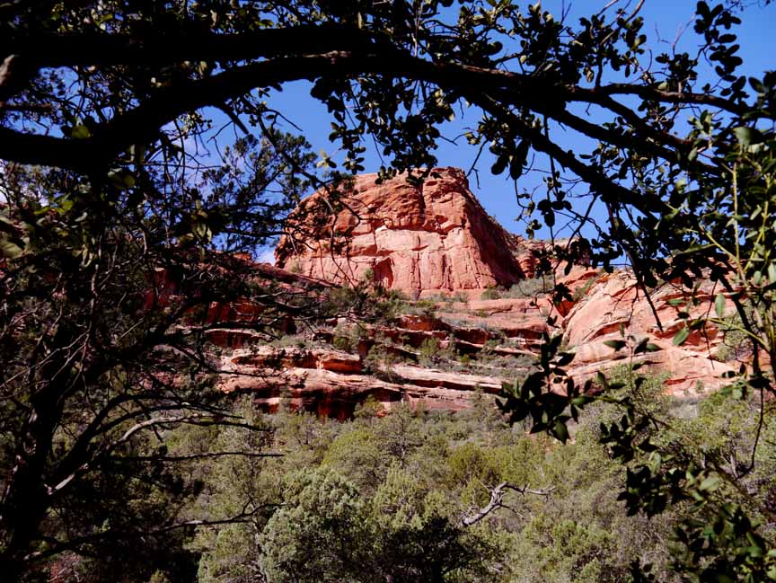
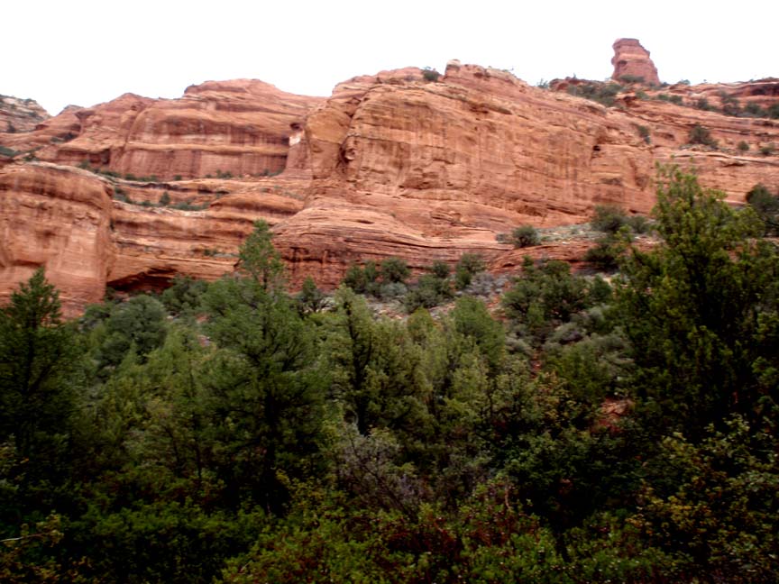
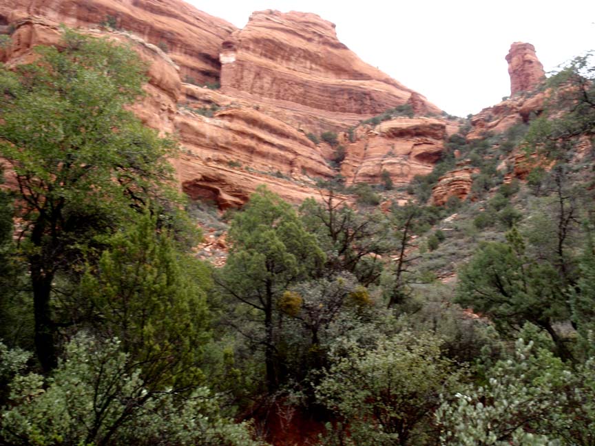
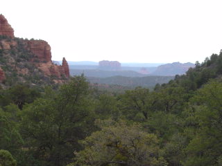
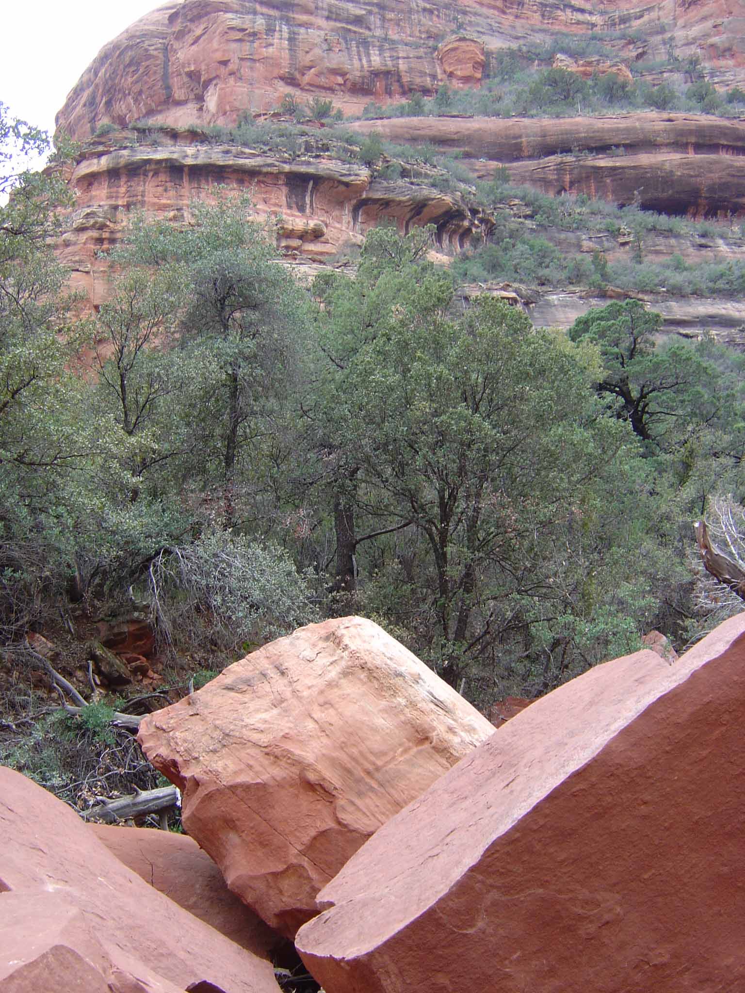
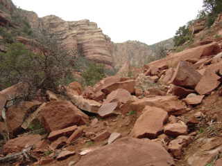
Description: Fay Canyon is one of our favorite hikes because it is short (under 3 miles in and out), and very scenic. The trail looks like it ends at a massive rockslide, but you can climb around the slide area and continue on about another � mile if you�d like. On your left you have nice views of Bear Mountain.
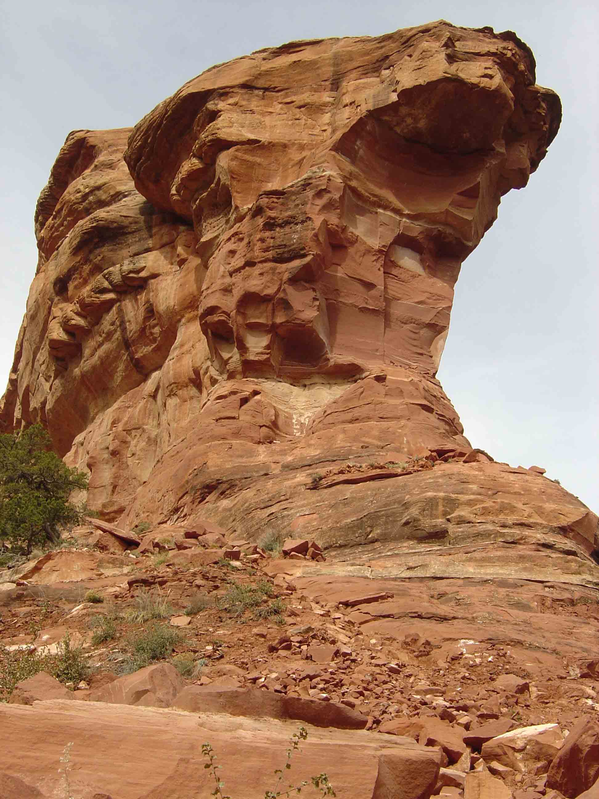
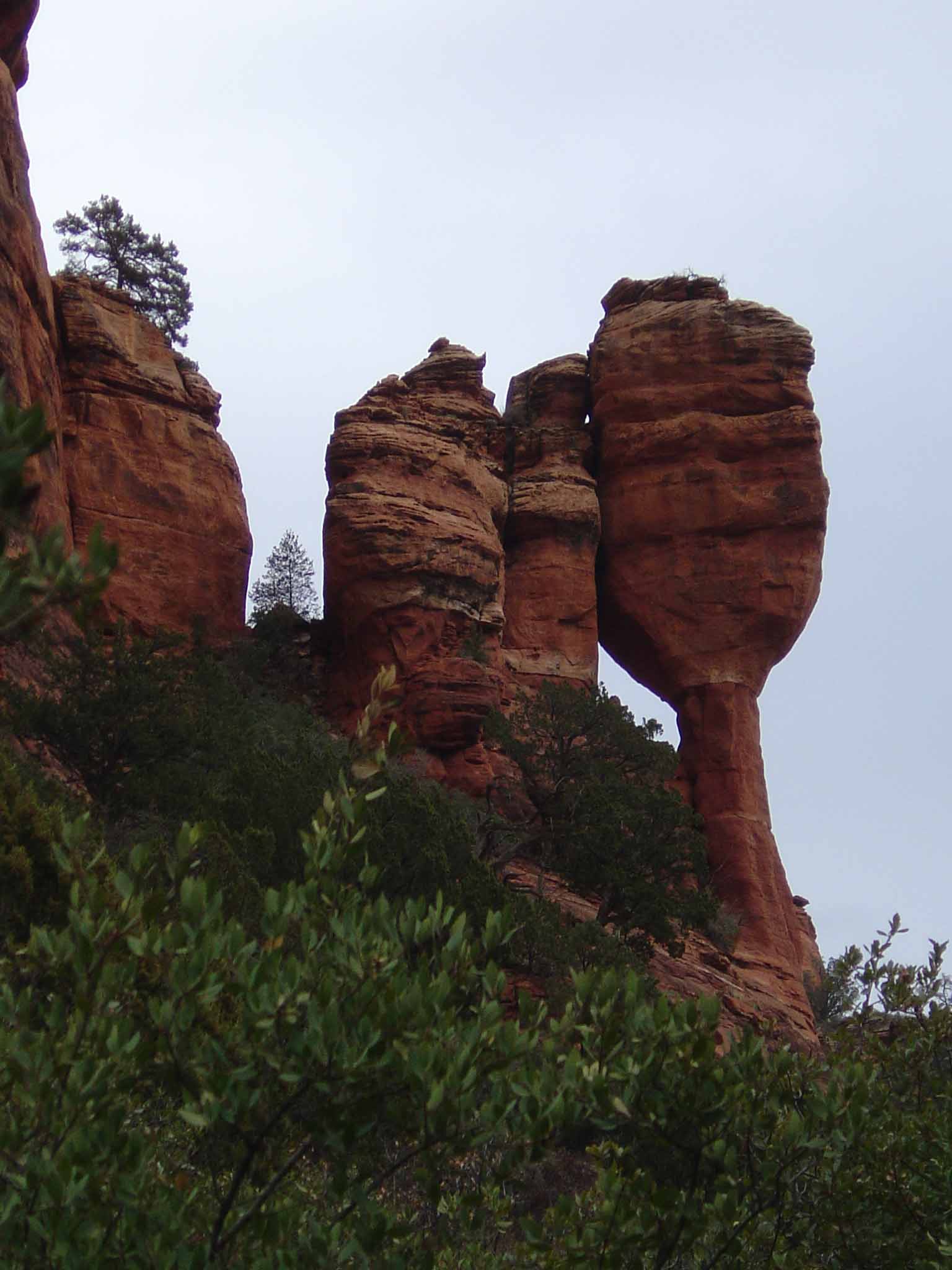
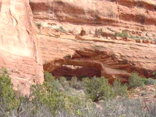
There is a side trail to a natural stone arch about 0.6 miles from the main trailhead on the right. You�ll have to scramble up this trail if you want to see the arch, which is located up next to the cliff face. Note that this side trail is very steep, unmarked and is not maintained. There is a narrow slot beneath the arch where the rocks have separated and you can �disappear� into the opening.
Here's a link to a video taken on a Valentine's Day (http://youtu.be/dKlqgKRkYQs).
Here's a link to a video of a hike which includes the scramble up to the arch (http://youtu.be/Py486yH84ag)


For those of you who have a GPS unit, I have GPS data available for the hike which include "tracks," the route and waypoints.
Great Sedona Hikes
Last Updated
March 31, 2021
Web Page by Bill Bohan (hikebook@greatsedonahikes.com)
send an email
with your comments/suggestions to Bill