
NOTE: The following summary information is to help with hike selection and is not intended to be used for hiking the trail. For your safety and enjoyment, please obtain a copy of Sedona Hiking Guide which is available here.
Summary: A pleasant hike through a canyon with plenty of shade
Challenge Level: Moderate
Hiking Distance: About 2 miles each way (4 miles total)
Trailhead Location: The parking area is located off of FR 152. A high clearance vehicle is strongly recommended for driving on FR 152.
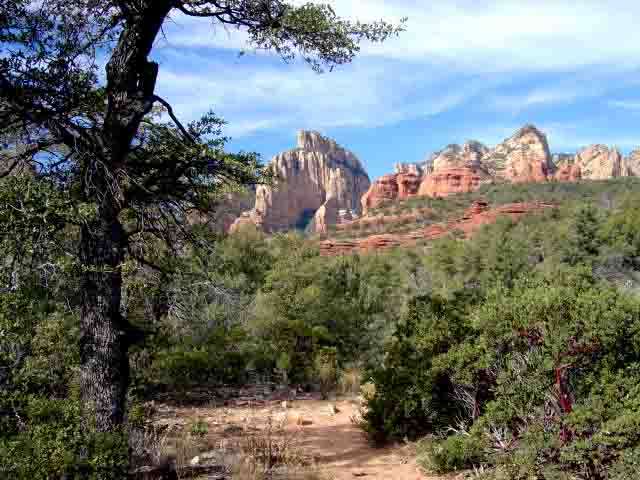
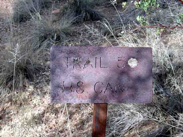
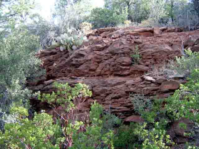
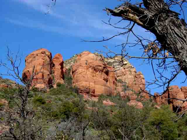
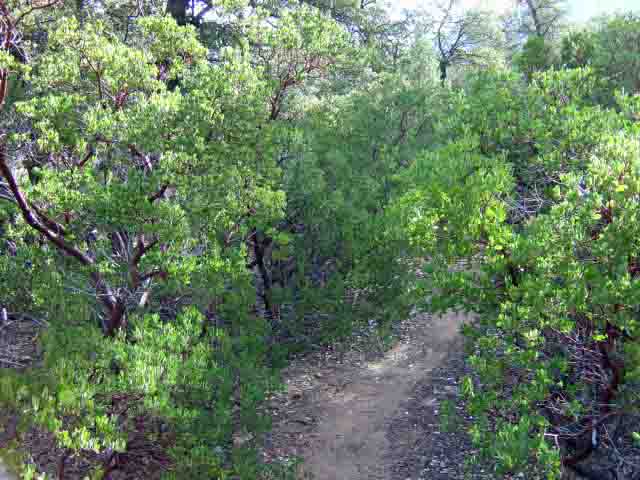
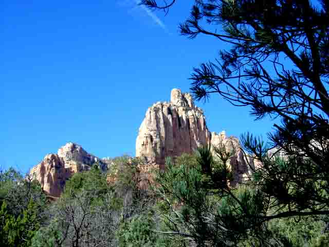
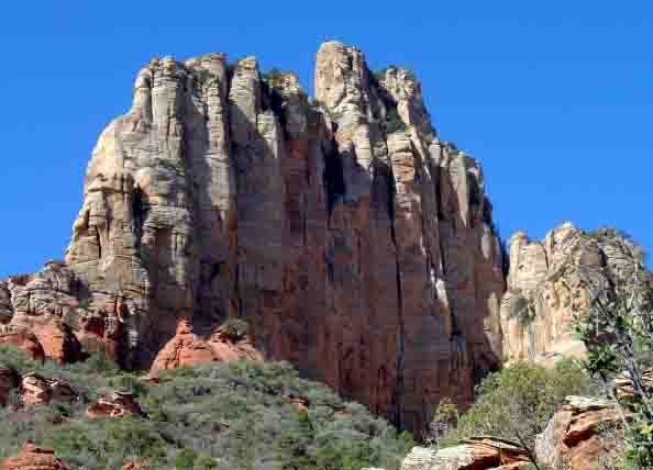
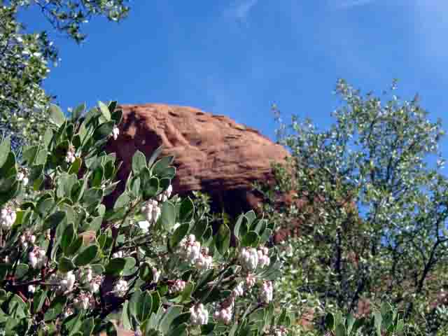
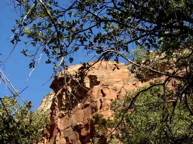
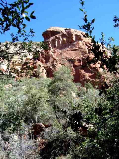
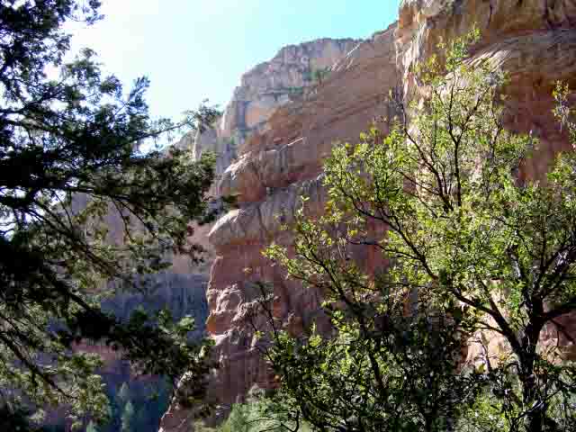
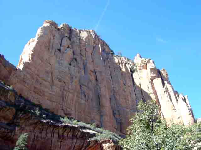
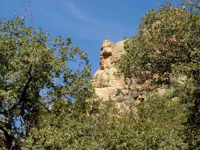
Description: You begin hiking the Secret Canyon Trail. After you hike a little more then 1/2 mile, watch for the HS Canyon Trail #50 sign on your left. This 2 mile one way hike gently rises about 600 feet and provides good red rock views, although the forest you hike through obscures many of them. The name presumably comes from the early settlers finding lots of horse s**t on this trail. A good hike for the hot summer as there is plenty of shade.
Here's a link to a video from our August 2016 hike


For those of you who have a GPS unit, I have GPS data available for the hike which include "tracks," the route and waypoints.
Great Sedona Hikes
Last Updated March 31, 2021
Web Page by Bill Bohan (hikebook@greatsedonahikes.com)
send an email
with your comments/suggestions to Bill