Summary: This hike takes you between several peaks ending with a scenic overlook of the Village of Oak Creek
Challenge Level: Moderate
Hiking Distance: About 2 1/2 miles round trip
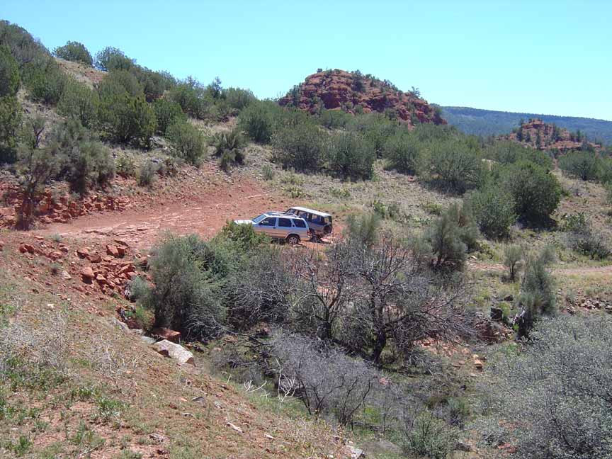
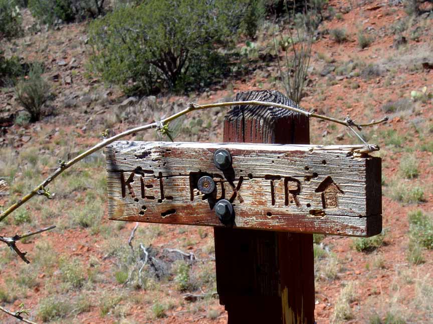
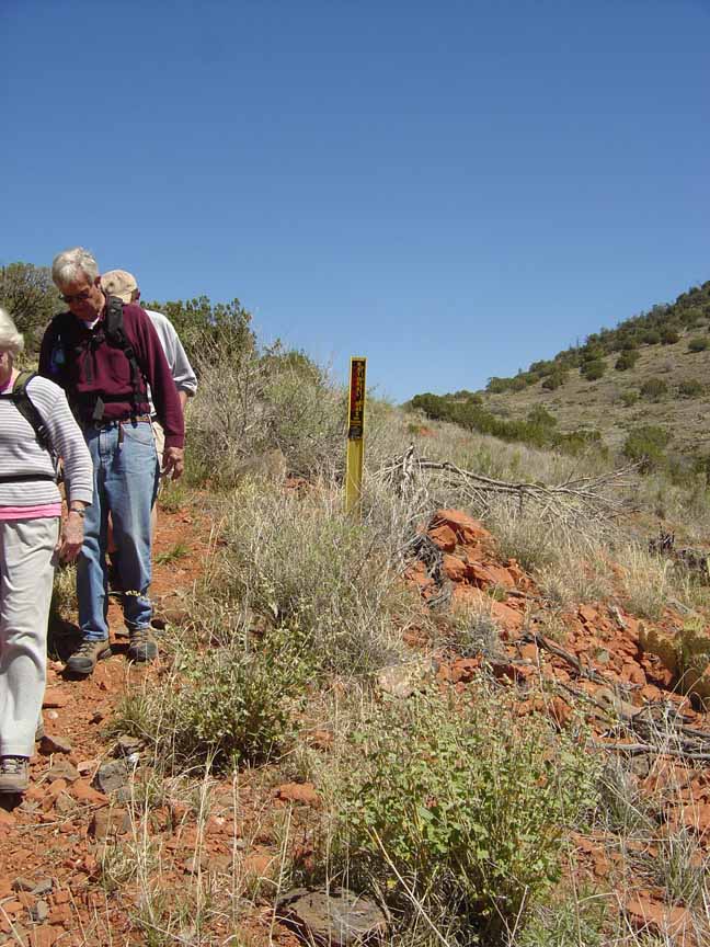
Trailhead Directions: From the "Y" (the intersection of State Route 89A and State Route 179), proceed south on SR 179 for 10 1/2 miles to Beaverhead Flat Road. Turn right on Beaverhead Flat Road and drive for 1 mile. Then turn right. Follow this very rough road for 1 1/2 miles. Park here and hike up to the top of the earth dam. The trail starts at the marker.
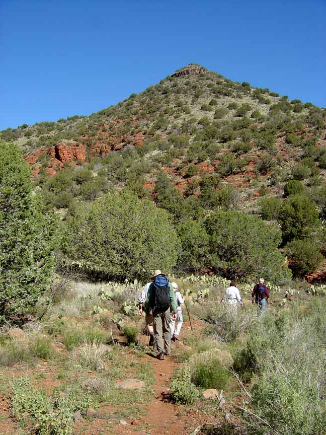
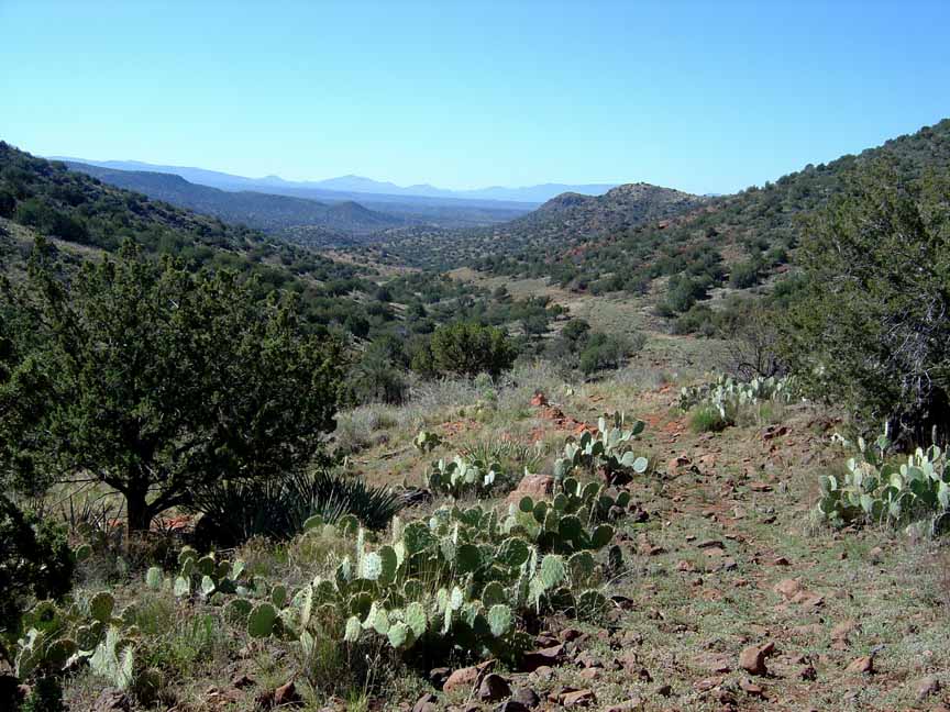
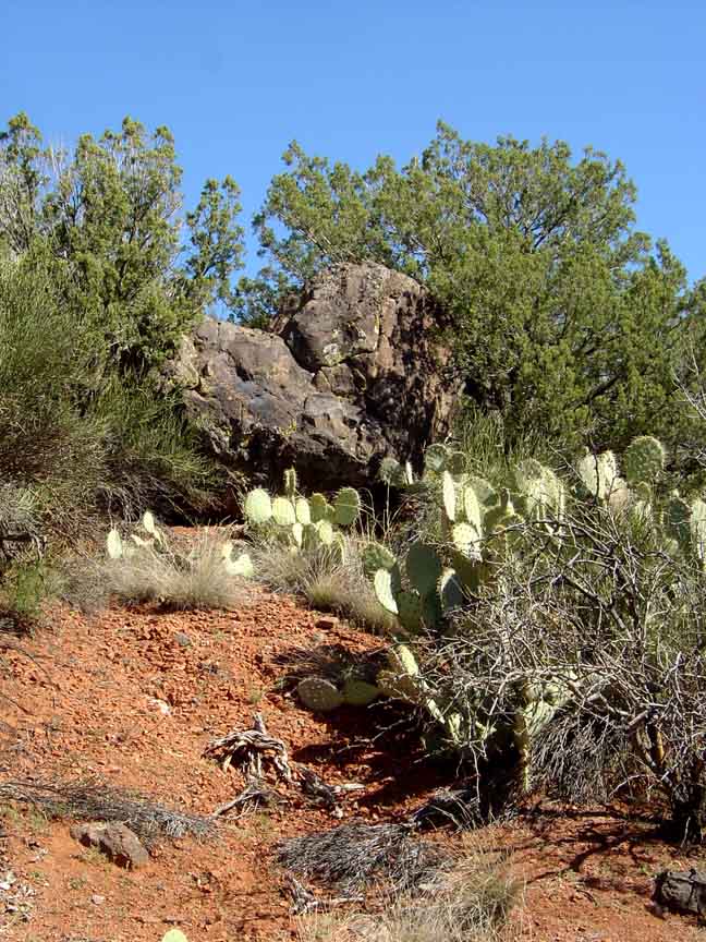
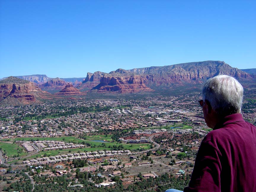
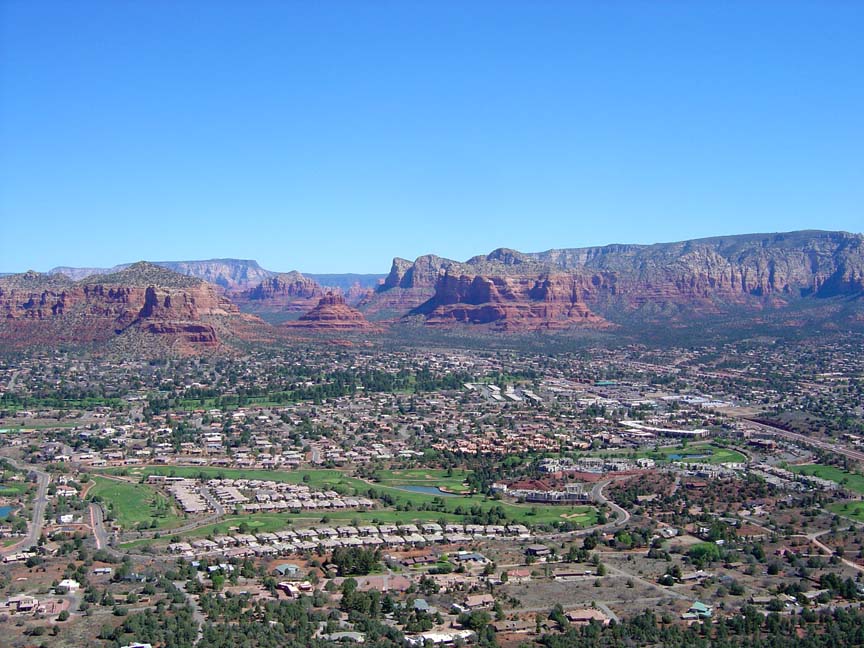
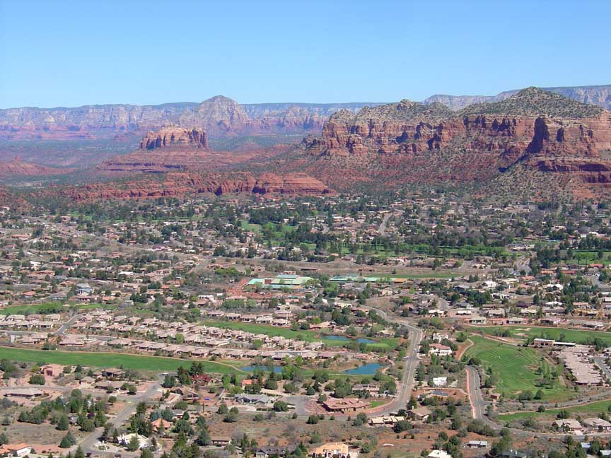
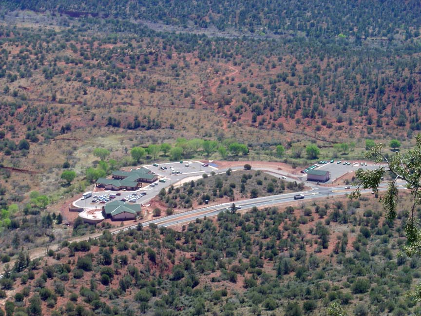
Description: The hike follows an old cattle trail and natural gas pipeline, and winds through cactus and small trees. There isn't any shade so this hike will be very hot in the summer. We hiked along the trail for about 3/4 mile until it reached a saddle. At this point we hiked up some 500 feet to the top of the "mountain" (someone suggested we call it Saddlehorn Mountain for the street below us) for a view of the Village of Oak Creek, Bell Rock, Courthouse Butte, Lee Mountain, Cathedral Rock and the new Ranger Station on SR 179. We found a femur bone from some type of animal but we couldn't identify it.
Driving out on the way back, we stopped to try to find some fossils. We didn't find any fossils, but we did find a rattlesnake sunning itself.


For those of you who have a GPS unit, I have GPS data available for the hike which include "tracks," the route and waypoints.
Great Sedona Hikes
Last Updated
March 31, 2021
Web Page by Bill Bohan (hikebook@greatsedonahikes.com)
send an email
with your comments/suggestions to Bill