
NOTE: The following summary information is to help with hike selection and is not intended to be used for hiking the trail. For your safety and enjoyment, please obtain a copy of Sedona Hiking Guide which is available here.
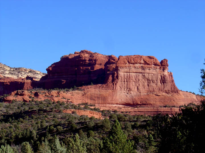
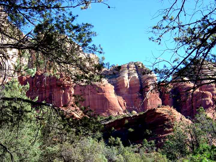
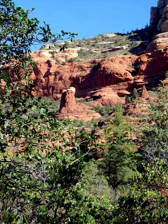
Summary: A pleasant hike through the forest with some obstructed red rock views.
Challenge Level: Moderate
Hiking Distance: Approximately 3 1/2 miles each way, 7 miles total; but you can hike further if you want
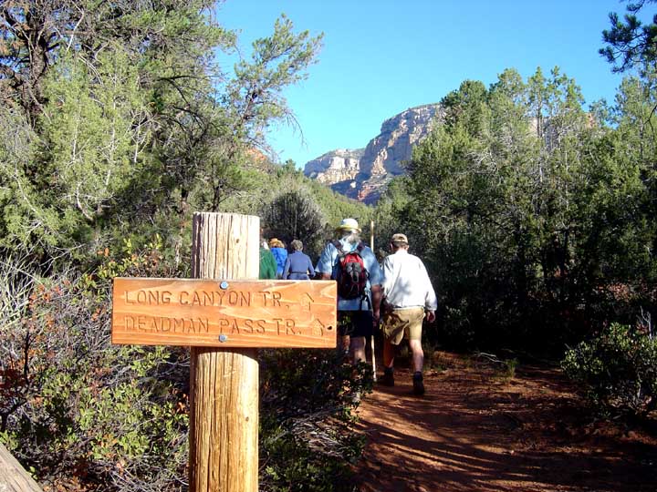
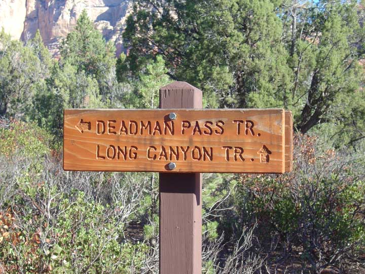
Trailhead Location: The trailhead is located on Long Canyon Road.
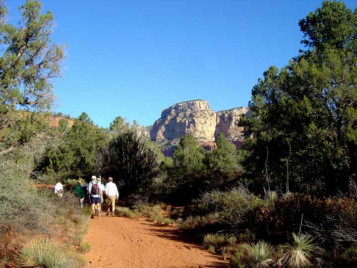
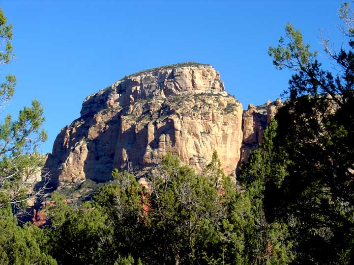
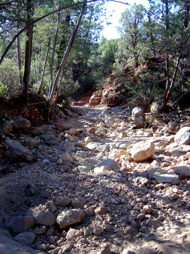
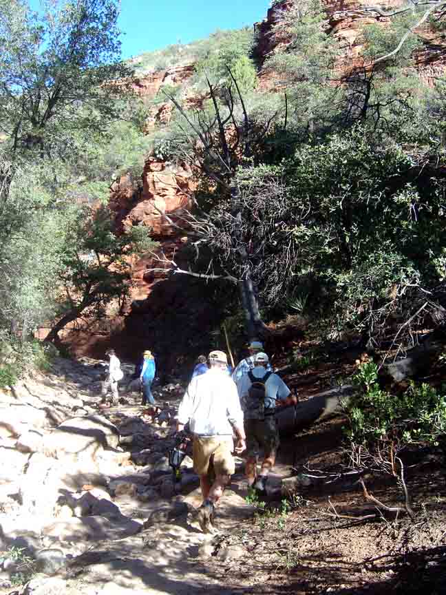
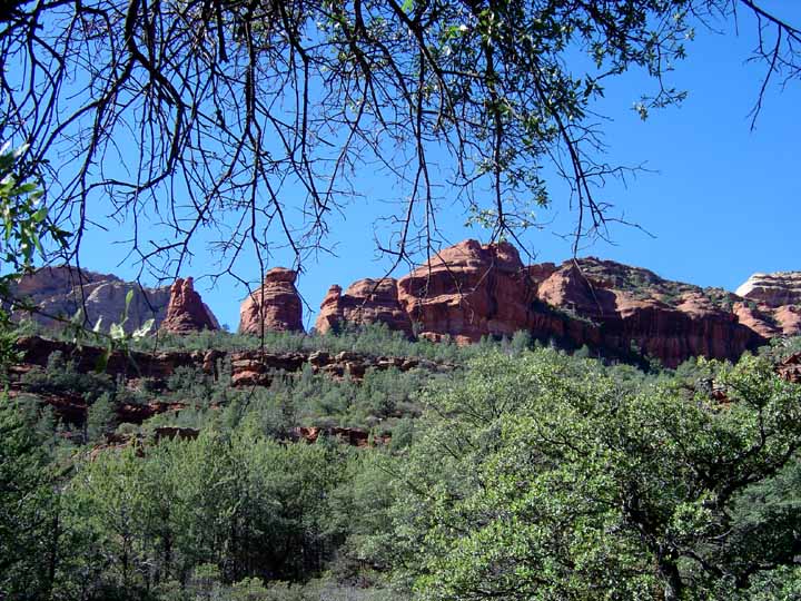
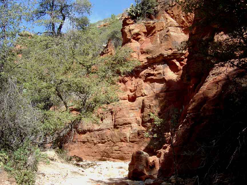
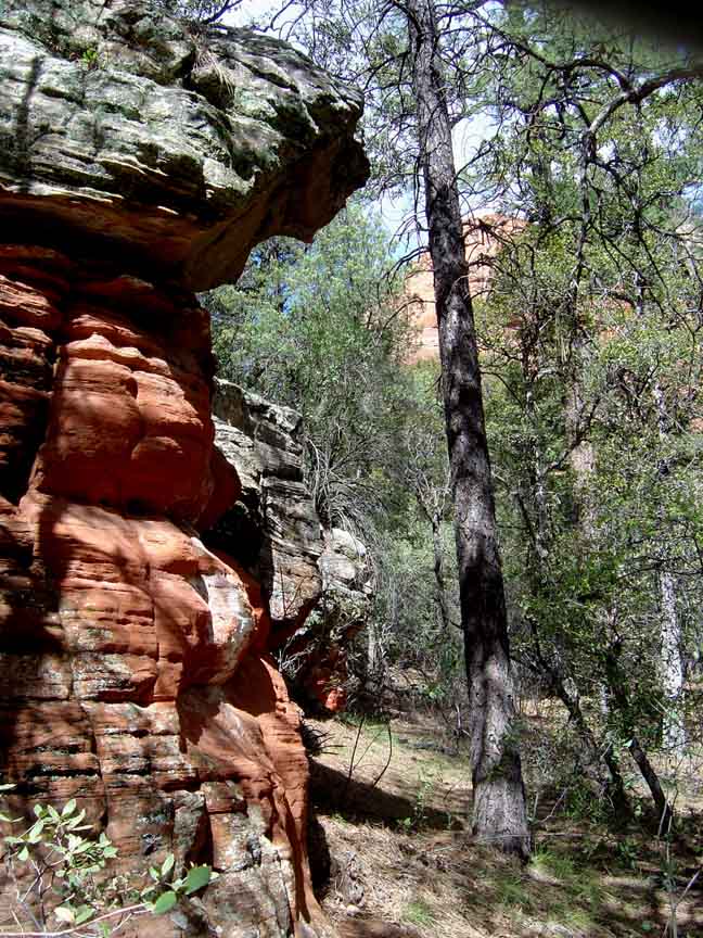
Description: This is a nice 7 mile round trip moderate hike through a forest with red rock views. The first 3/4 mile is not shaded and can be very hot in the summer. But once you are in the forest, the shade helps offset the summer heat. With all the growth, it's sometimes difficult to take the photo you want to. You intersect the Deadman Pass trail about 1 mile in. We hike Long Canyon about 3 .5 miles but you can go further. The trail becomes steeper, however.
Here is a link to a video of the hike (http://youtu.be/PP8K3rBHOdI)


For those of you who have a GPS unit, I have GPS data available for the hike which include "tracks," the route and waypoints.
Great Sedona Hikes
Last Updated March 31, 2021
Web Page by Bill Bohan (hikebook@greatsedonahikes.com)
send an email
with your comments/suggestions to Bill