NOTE: The following summary information is to help with hike selection and is not intended to be used for hiking the trail. For information on this trail, contact me using the link below.
Summary: A trail off the Long Canyon Trail with views
Challenge Level: Moderate
Hiking Distance: About 1.3 miles each way, 2.6 miles round trip
Trailhead Directions: The parking area is located on Long Canyon Road You'll hike the Long Canyon Trail and turn left for the Mescal Mountain Trail.
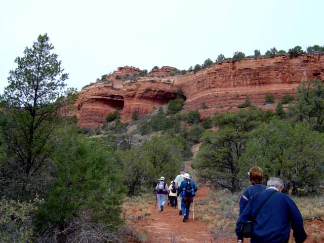
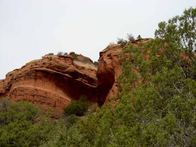
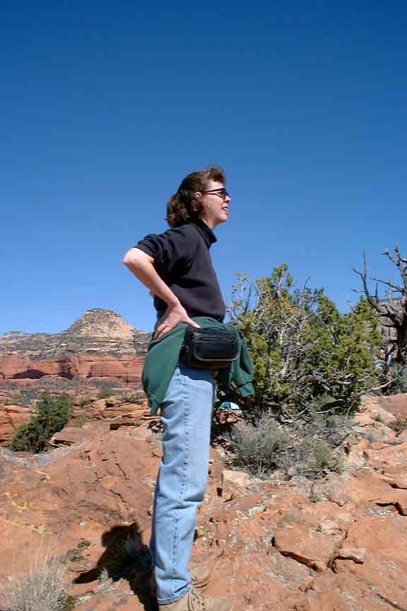
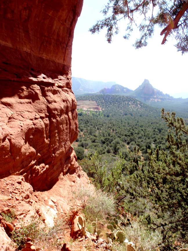
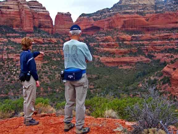
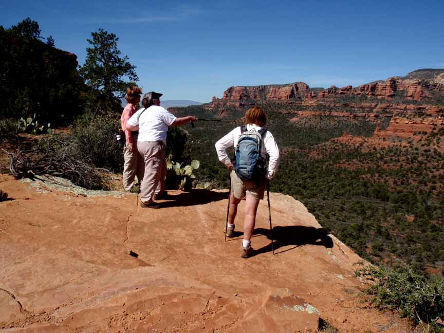
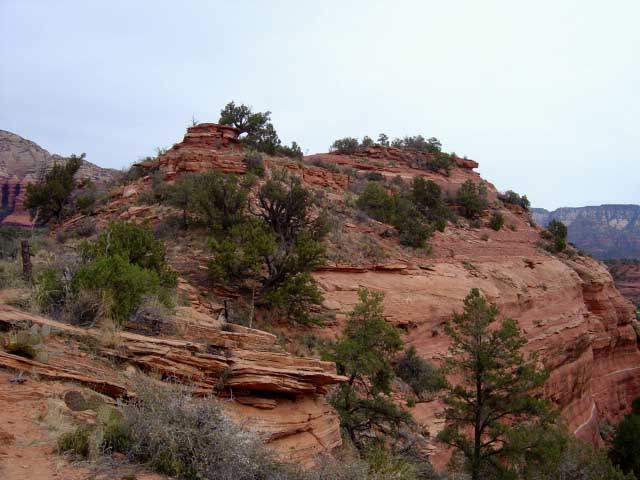
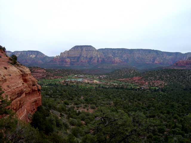
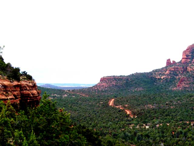
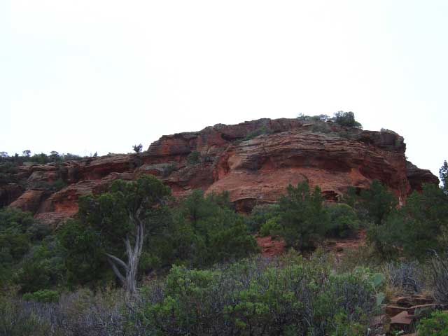
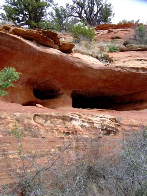
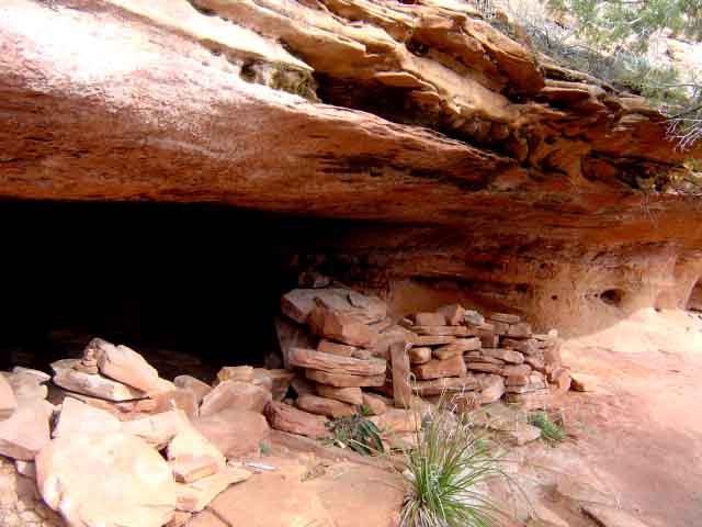
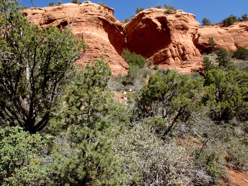
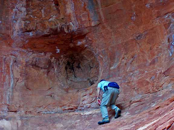
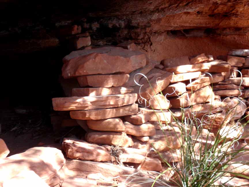
Description: You'll pass "Grandma's Cave on the right at about 0.3 miles after you begin the Mescal Mountain Trail. This is a short but steep side trip. Mescal Mountain is a difficult mountain to get to the top. We go to the saddle, between two peaks. While there is a path to the top, it is a very difficult climb, which we do not attempt. The views from the saddle are outstanding and there is no need to scramble to the top.
Here is a link to a video of our April 2011 hike (http://youtu.be/w2ZR7X48ubQ).
Click on the thumbnails for a larger view

For those of you who have a GPS unit, I have GPS data available for the hike which include "tracks," the route and waypoints.
Great Sedona Hikes
Last Updated
March 31, 2021
Web Page by Bill Bohan (hikebook@greatsedonahikes.com)
send an email
with your comments/suggestions to Bill