NOTE: The following summary information is to help with hike selection and is not intended to be used for hiking the trail. For your safety and enjoyment, please obtain a copy of Sedona Hiking Guide which is available here.
Summary: A hike down an old road with views
Challenge Level: Moderate
Hiking Distance: About 2 1/2 miles each way, 5 miles round trip
Trailhead Directions: From the "Y" (the intersection of State Route 89A and State Route 179), drive west on SR 89A for 4 1/4 miles and turn left on the Upper Red Rock Loop Road. Follow the Upper Loop Road for 1 3/4 miles and turn left on Chavez Ranch Road. Drive about 1/4 mile and turn left in to a parking area.
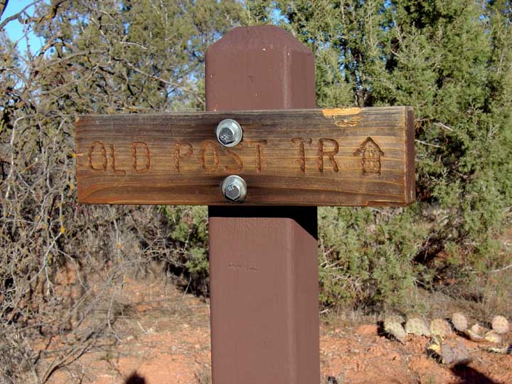
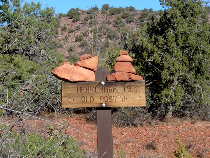
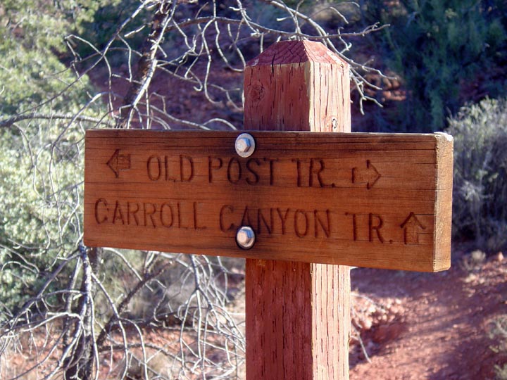
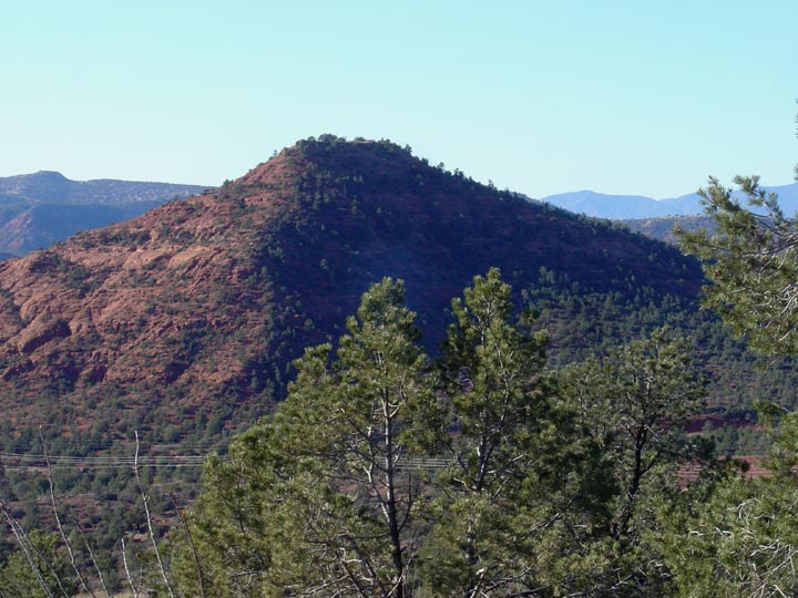
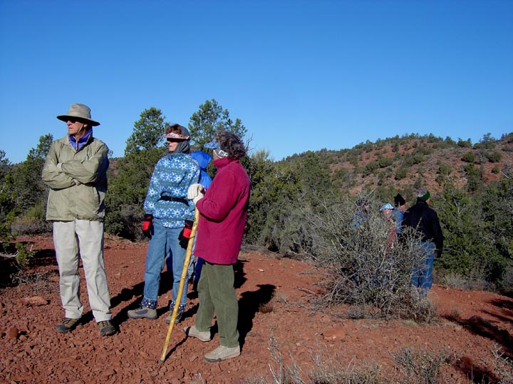
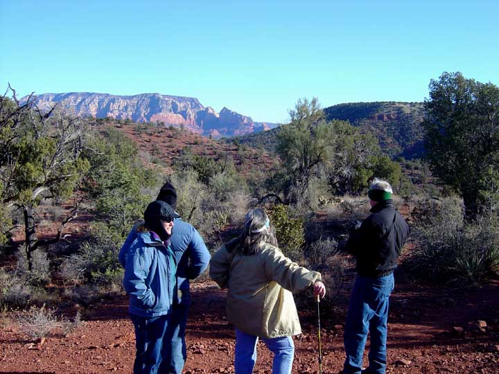
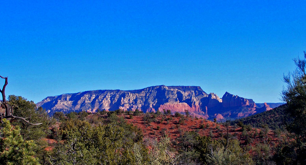
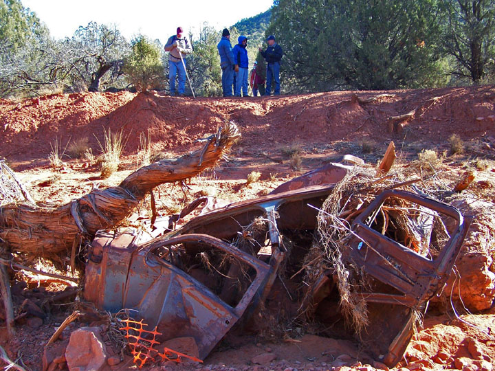
Description: We hiked this trail on a cold, windy January day. You'll intersect Carroll Canyon Trail about 1 mile after you start. Nice views of Carroll Canyon rock formations and a view of the Pyramid (but not as nice as the view from the end of the Tabletop Trail). I've included some of the trail signs you need to watch for on this hike.
Note: You can do a nice loop hike as described in Great Sedona Hikes Revised 5th Edition.
Photos:


For those of you who have a GPS unit, I have GPS data available for the hike which include "tracks," the route and waypoints.
Great Sedona Hikes
Last Updated March 31, 2021
Web Page by Bill Bohan (hikebook@greatsedonahikes.com)
send an email
with your comments/suggestions to Bill