NOTE: The following summary information is to help with hike selection and is not intended to be used for hiking the trail. For your safety and enjoyment, please obtain a copy of Sedona Hiking Guide which is available here.
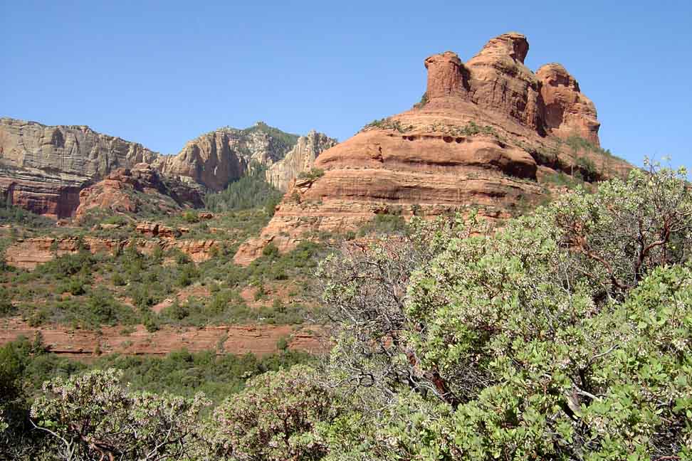
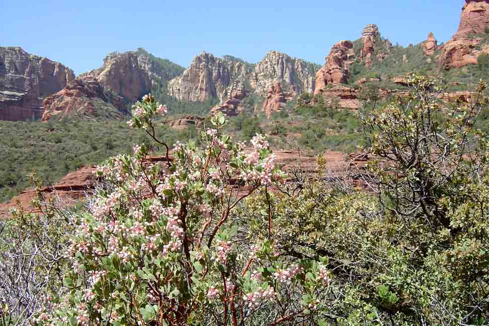
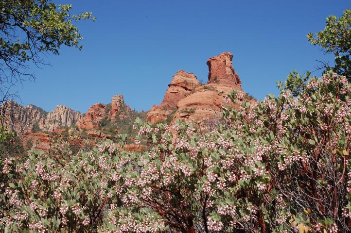
Summary: A hike up a beautiful canyon with red rock views
Challenge Level: Moderate
Hiking Distance: About 2.4 miles each way, almost 5 miles round trip
Trailhead Location: The parking area is located on FR 152. FR 152 can be a very rough dirt road so a high clearance vehicle is strongly recommended.
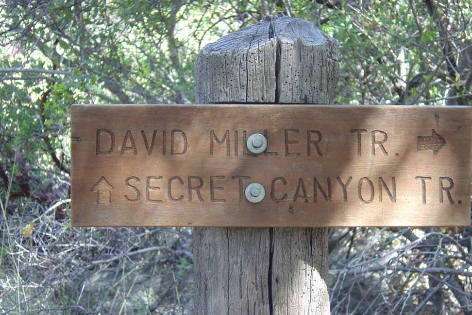
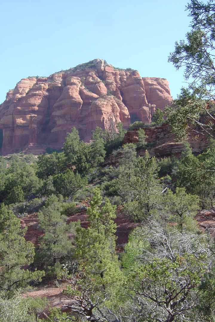
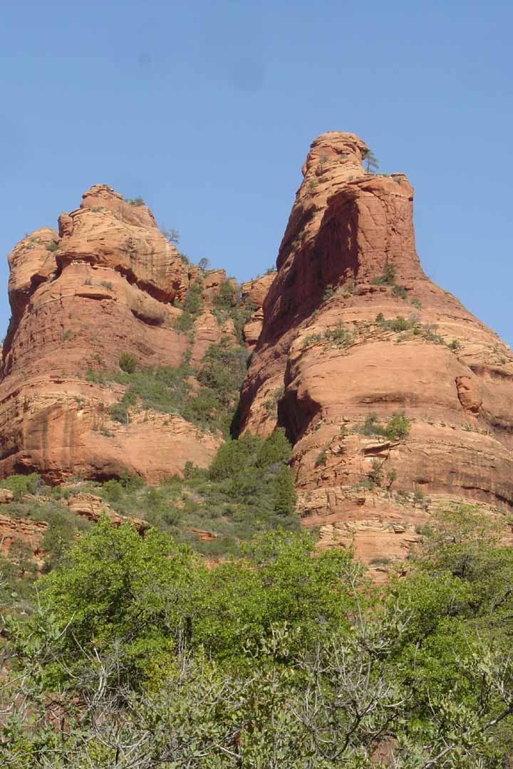
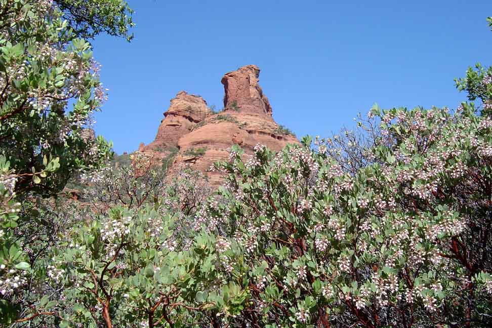
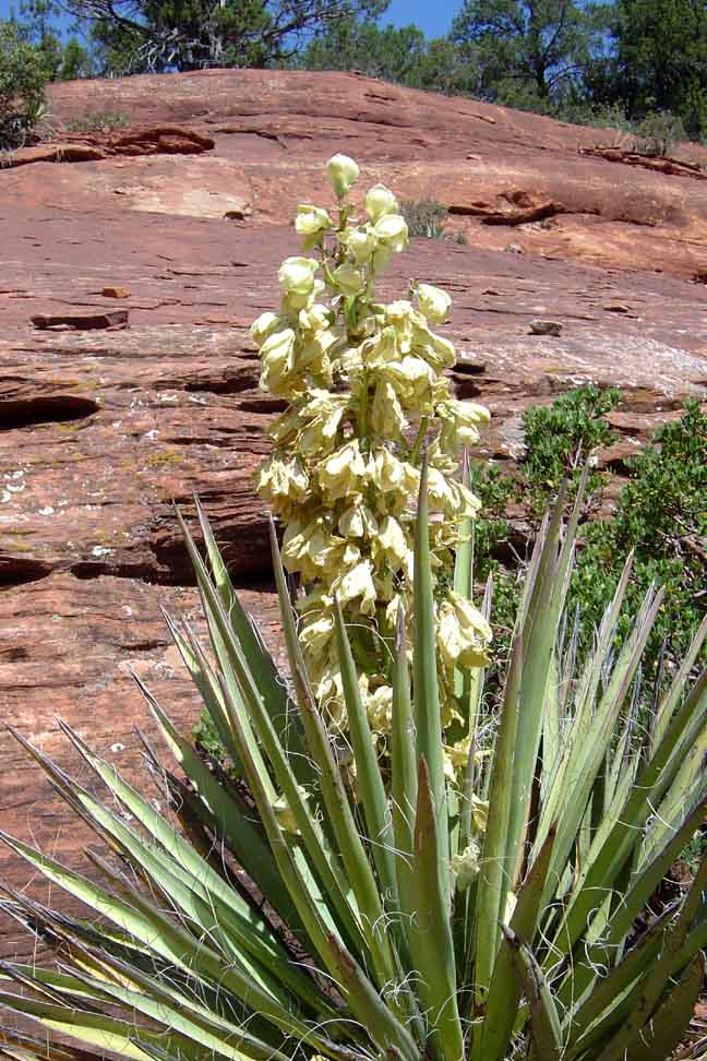
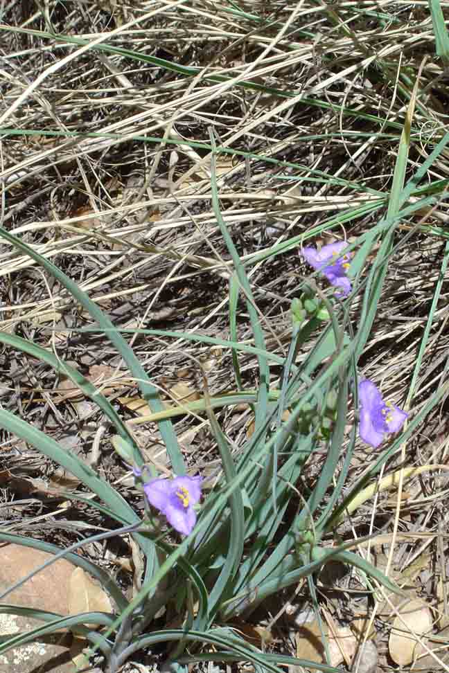
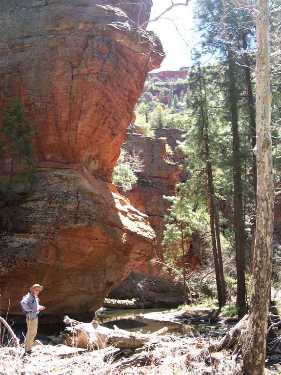
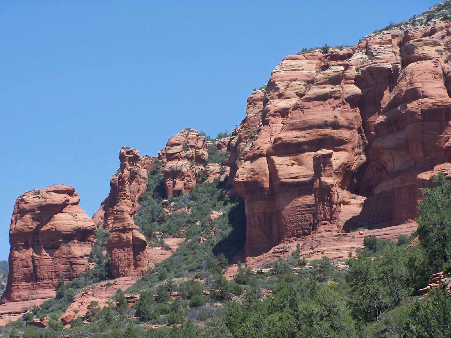
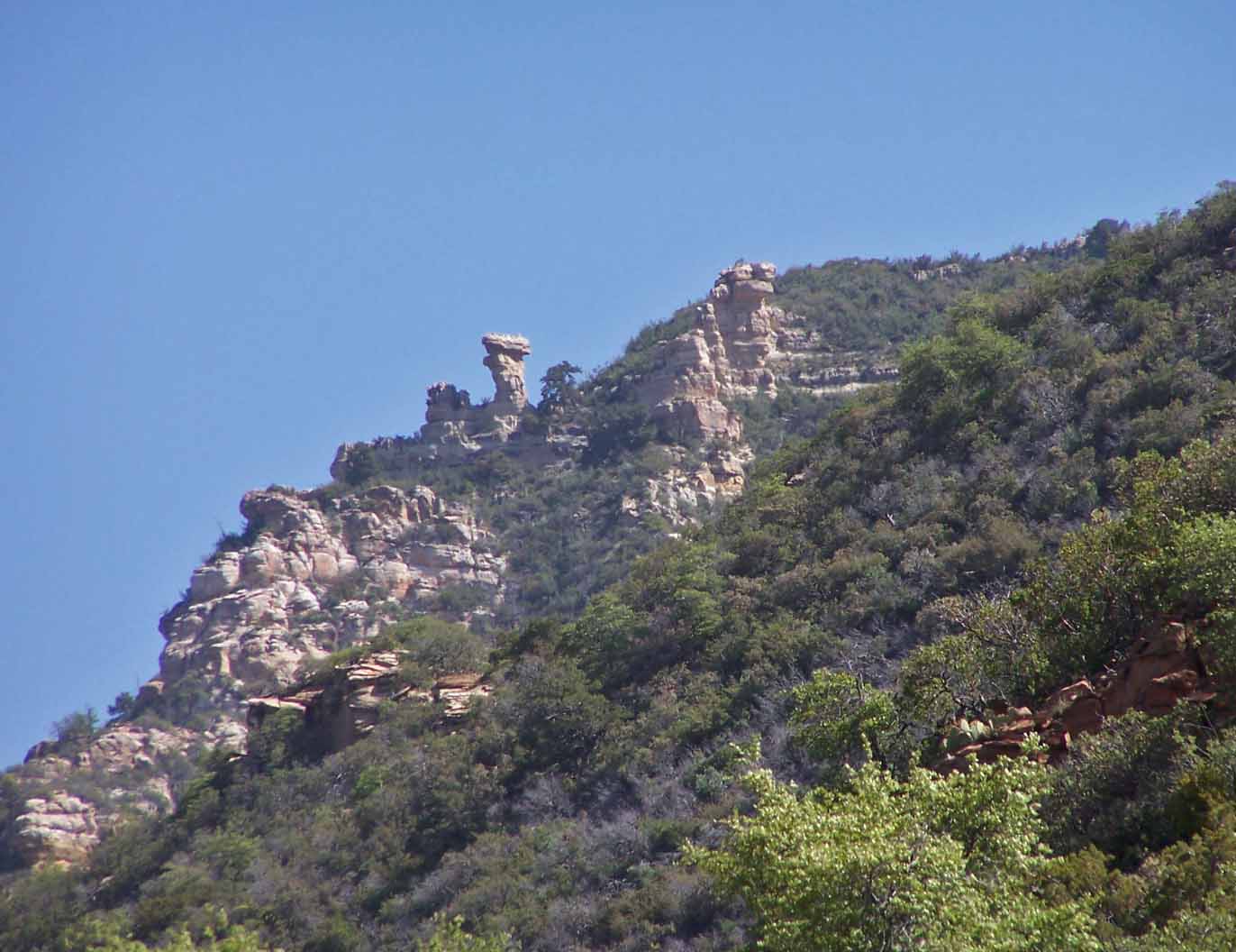
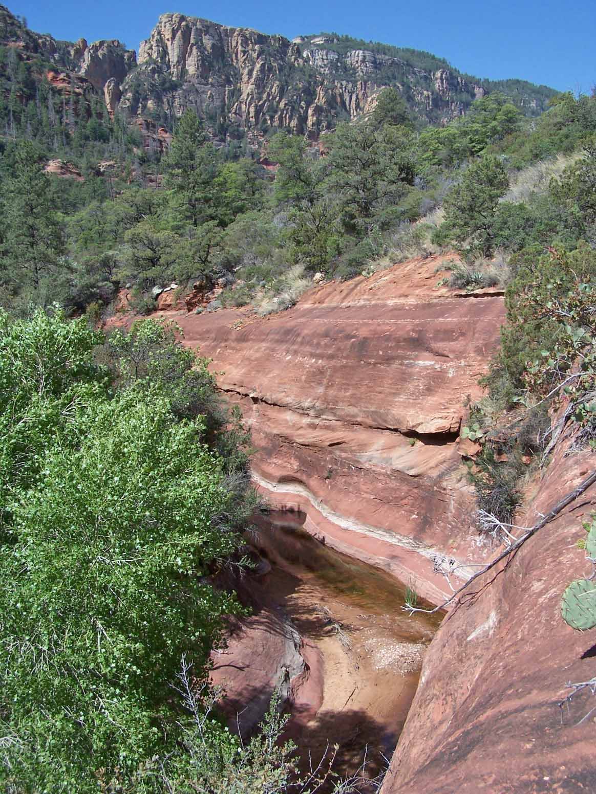
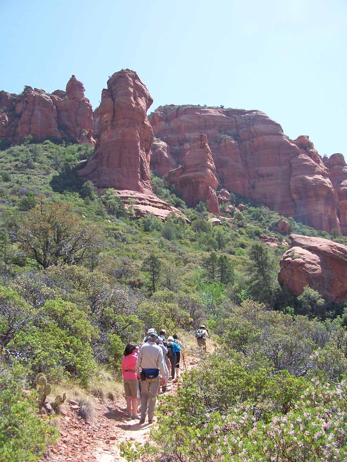
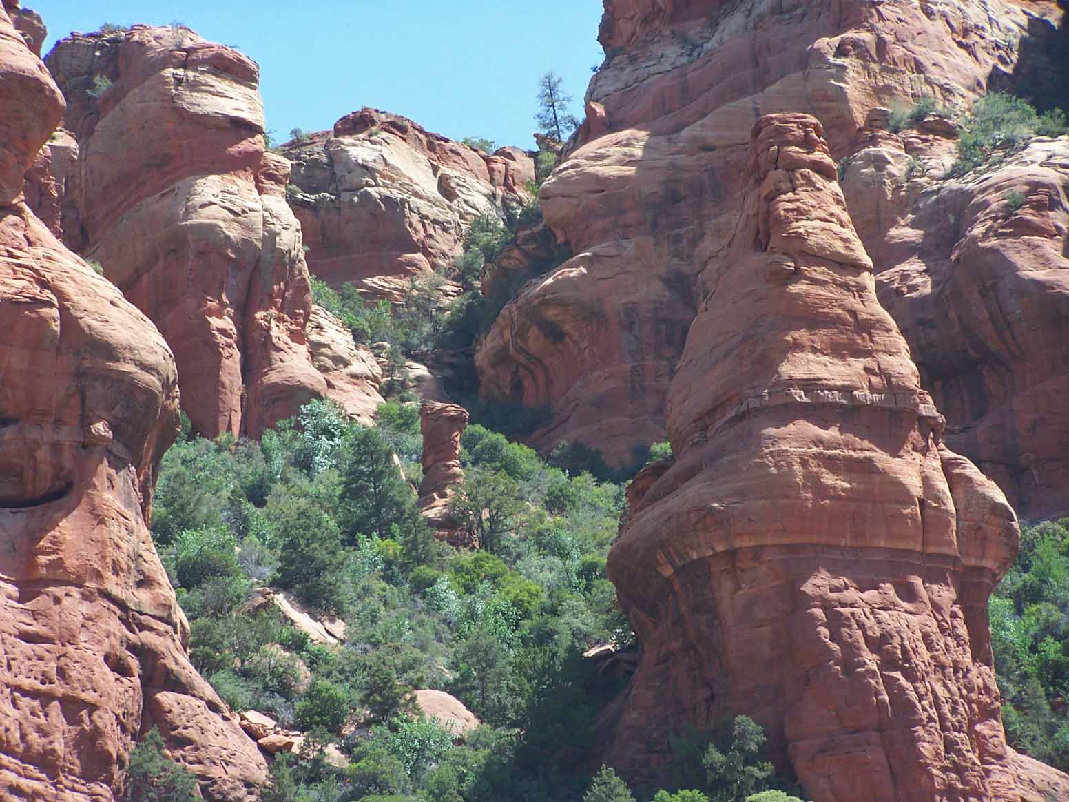
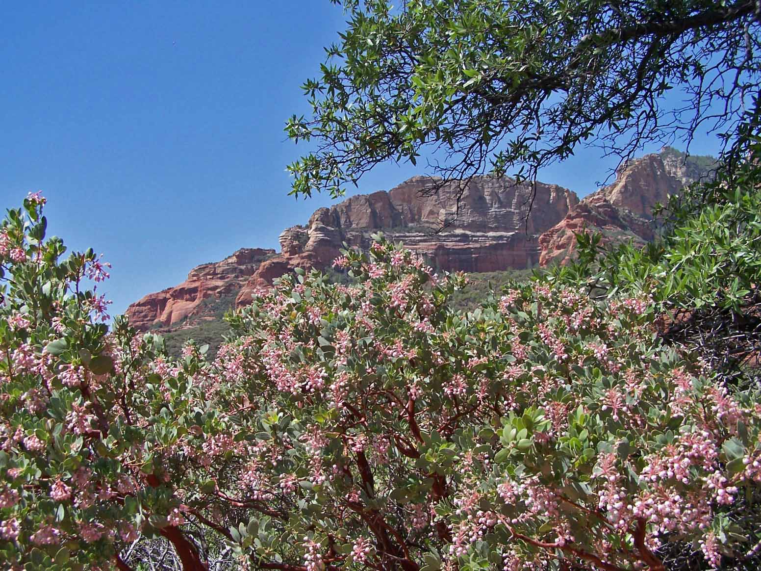
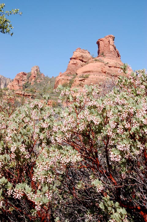
Description: This hike goes up a very picturesque canyon, following the Dry Creek creek bed. You'll encounter the H S Trail about 1/2 mile into the hike and the David Miller Trail about 2 miles into the hike. At about 2 1/4 miles you'll be in a pine forest. We stopped after hiking 2.4 miles. The trail continues on and becomes a hard trail but some of the views are outstanding.
Here's a link to a video of the hike (http://youtu.be/KabUJkGUZBc).
Click on the photos below for a bigger view
For those of you who have a GPS unit, I have GPS data available for the hike which include "tracks," the route and waypoints.
Great Sedona Hikes
Last Updated March 31, 2021
Web Page by Bill Bohan (hikebook@greatsedonahikes.com)
send an email
with your comments/suggestions to Bill