
Summary: This hike puts you through fields, steep trails and ends on House Mountain
Challenge Level: Hard
Hiking Distance: About 3 1/2 miles each way (7 miles round trip)
Trailhead Directions: From the "Y" (the intersection of State Route 89A and State Route 179) drive south on SR 179 for just over 7 miles. Turn right on Verde Valley School Road and drive for 4 miles and turn left on to Forest Road 9216B. Drive for about 1/2 mile to the parking area.
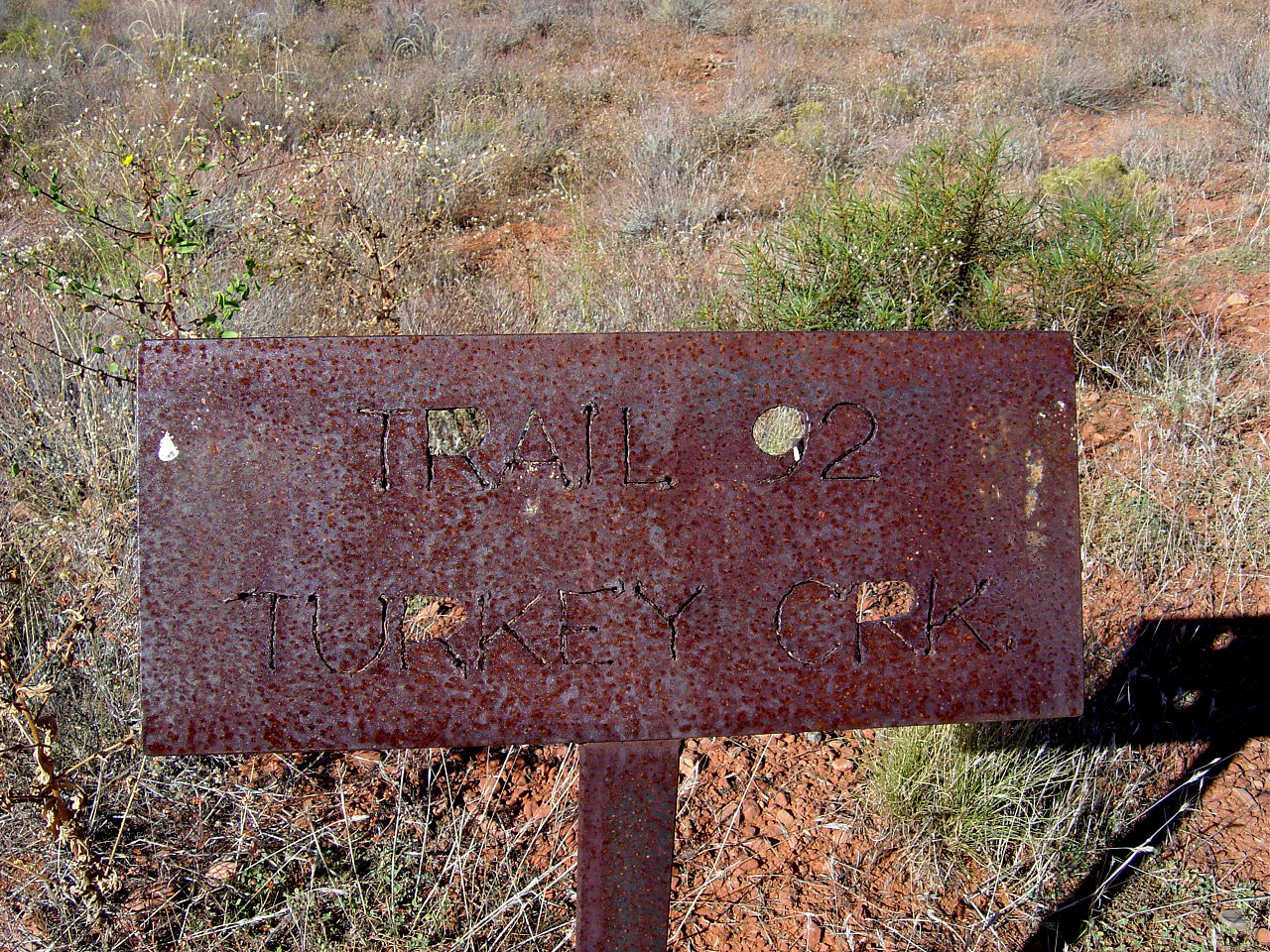
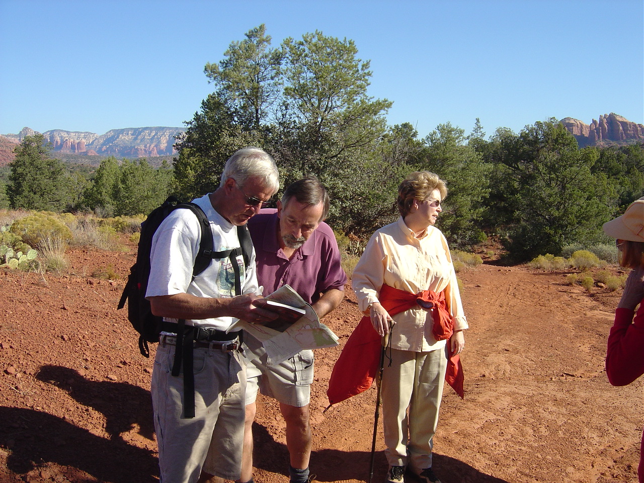
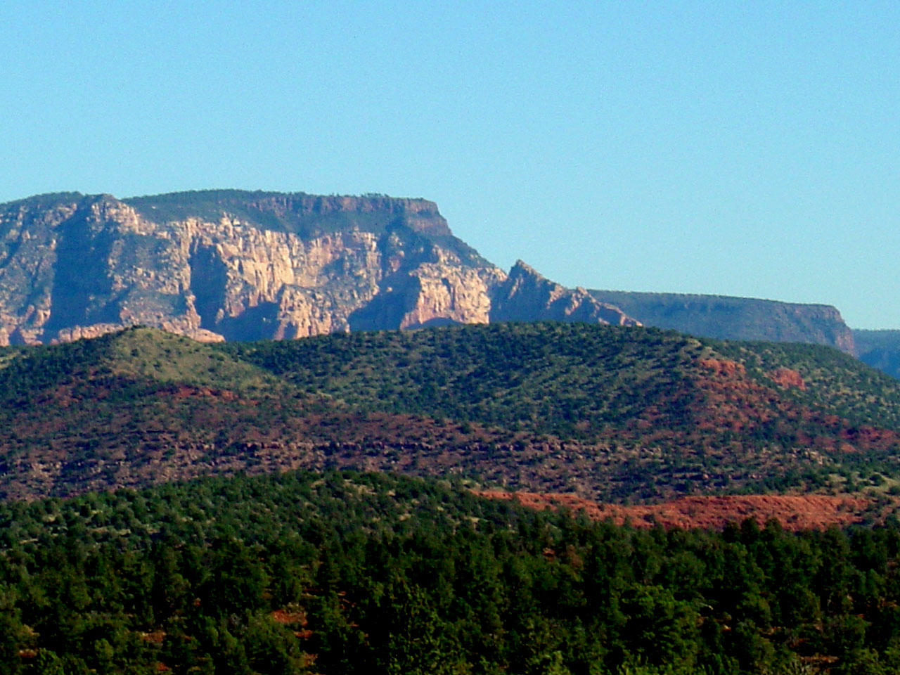
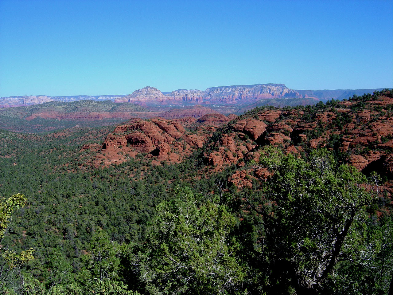
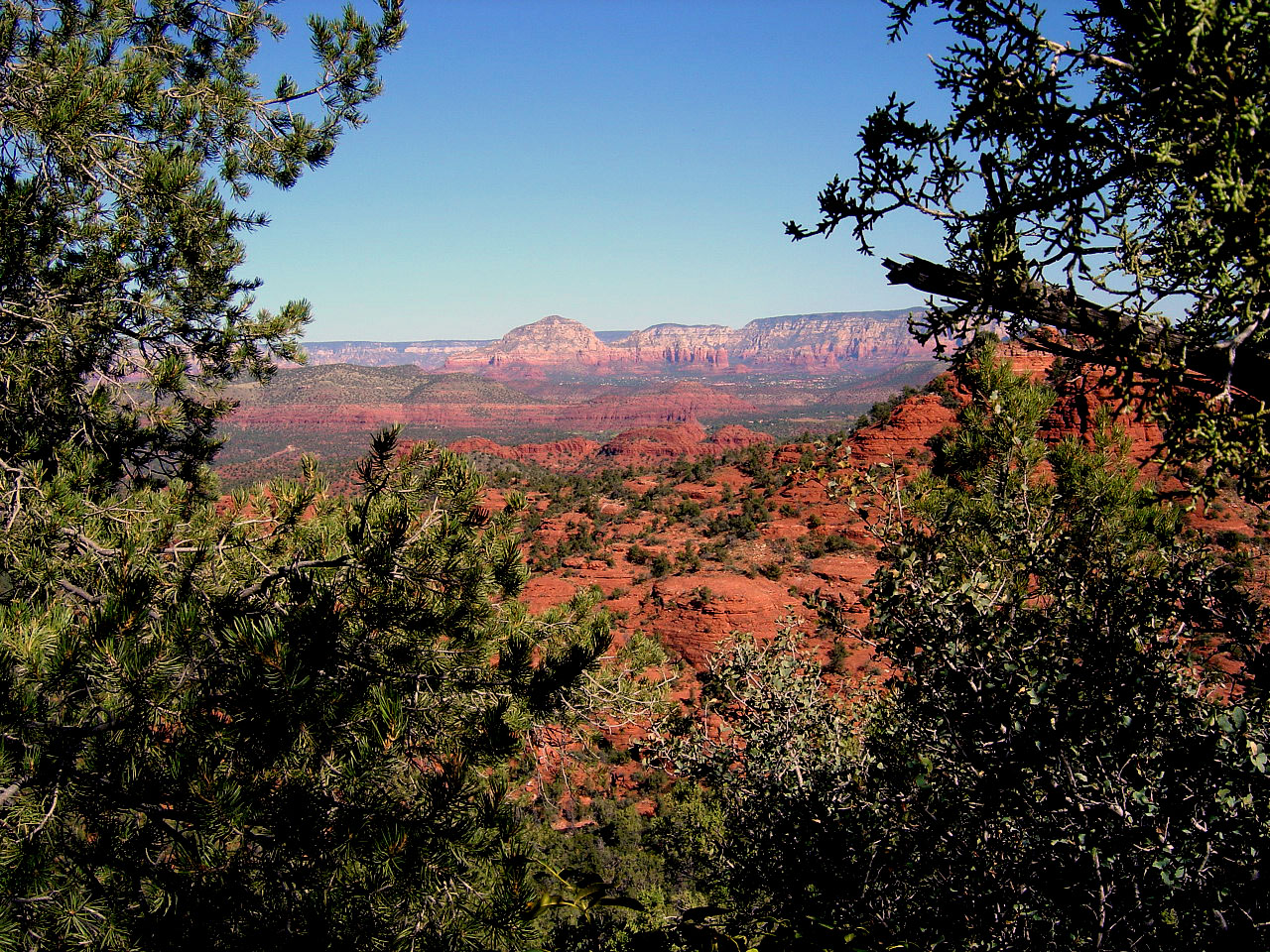
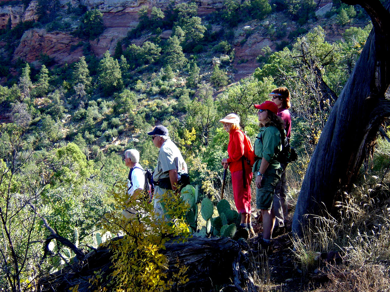
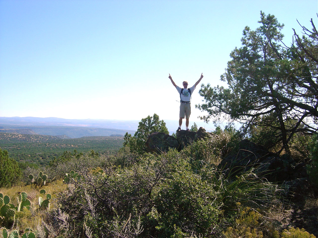
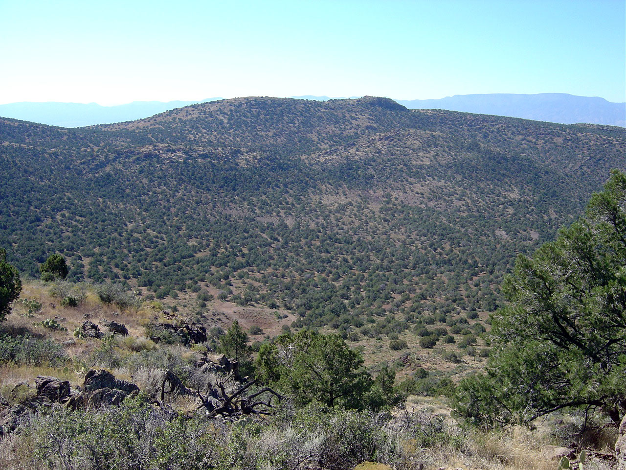
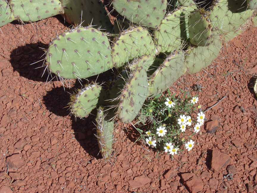
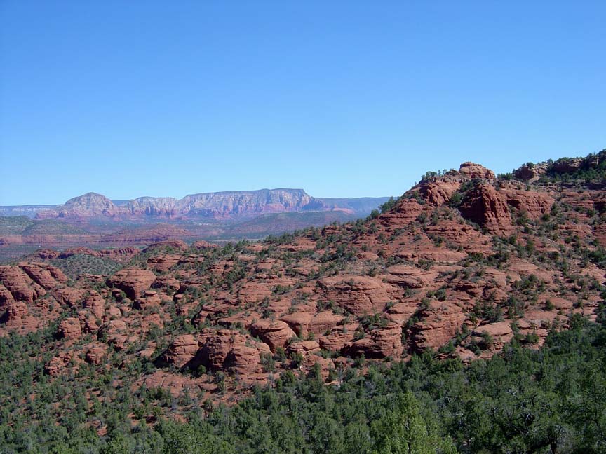
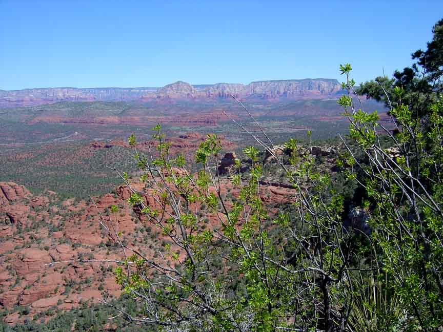
Description: The hike goes past several "tanks" and approaches House Mountain. Along the way you cross Turkey Creek. We climbed up House Mountain for some wonderful views of the red rocks. It's a long step climb up to House Mountain.


For those of you who have a GPS unit, I have GPS data available for the hike which include "tracks," the route and waypoints.
Great Sedona Hikes
Last Updated
March 31, 2021
Web Page by Bill Bohan (hikebook@greatsedonahikes.com)
send an email
with your comments/suggestions to Bill