NOTE: The following summary information is to help with hike selection and is not intended to be used for hiking the trail. For your safety and enjoyment, please obtain a copy of Sedona Hiking Guide which is available here.
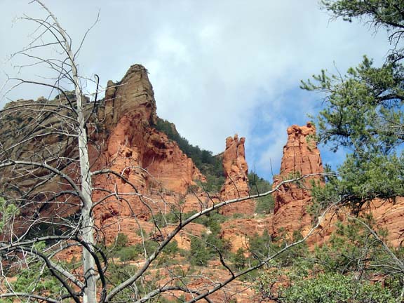
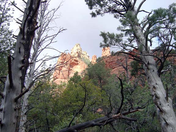
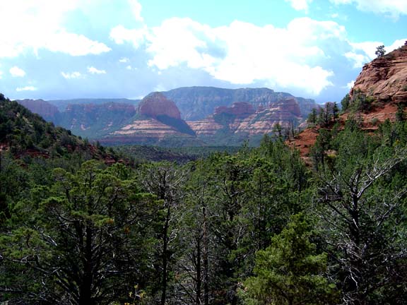
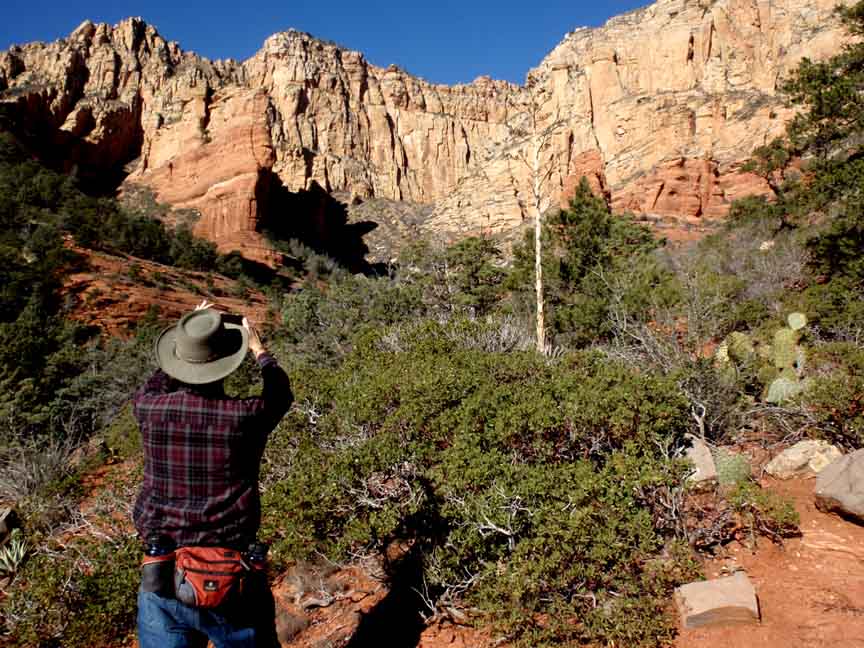
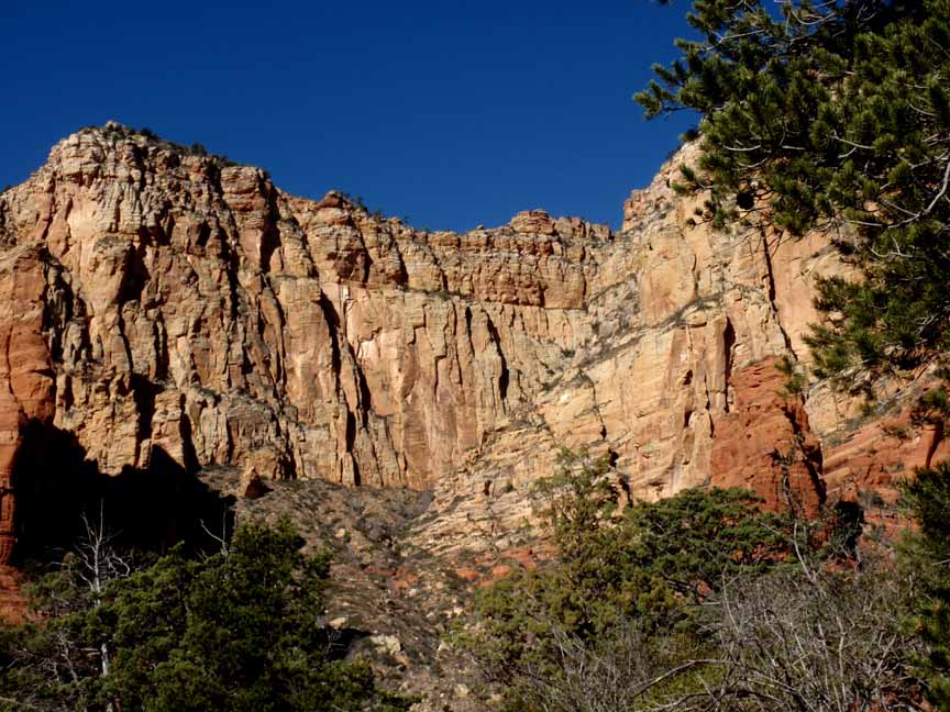
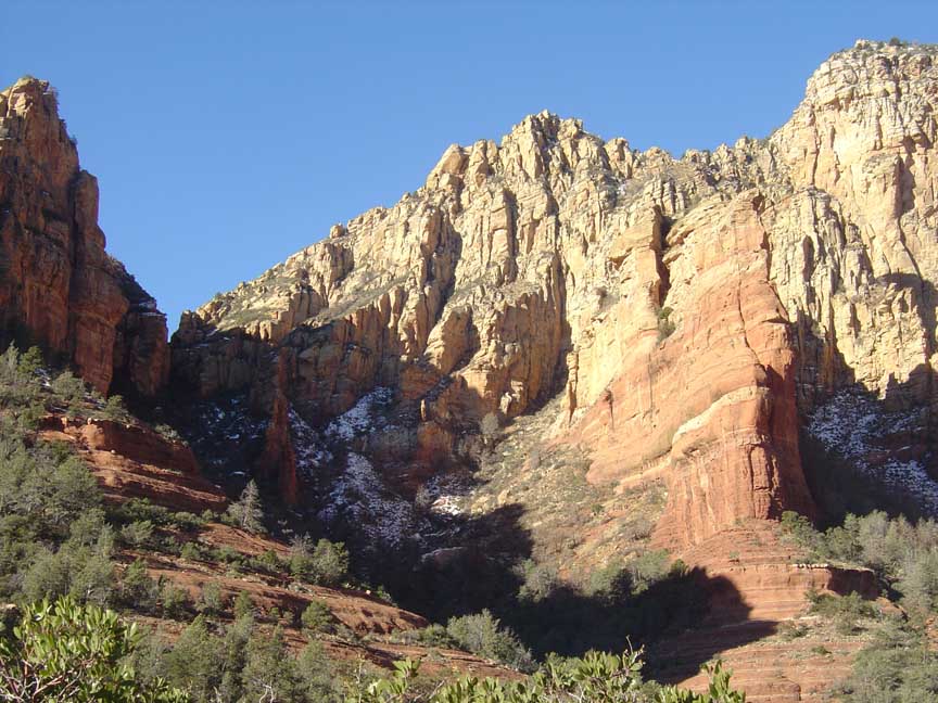
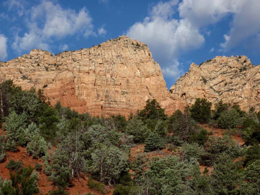
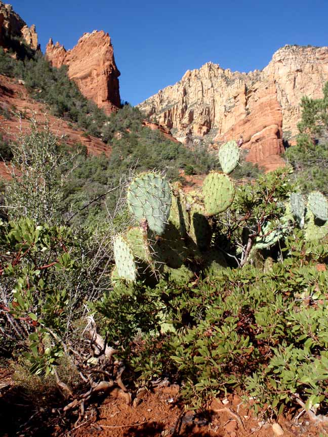
Summary: A pleasant hike in a shaded canyon with red rock views at the end
Challenge Level: Moderate
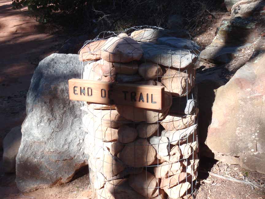
Hiking Distance: About 3 miles round trip (in and out)
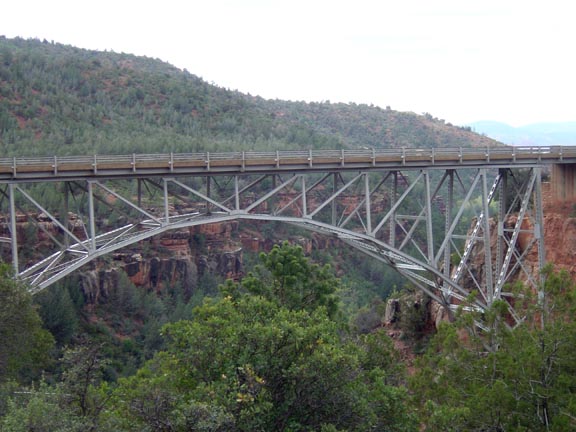
Trailhead Location: Park at Midgley Bridge.
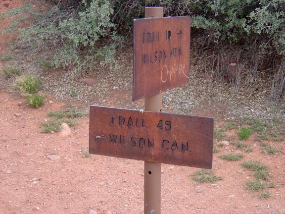
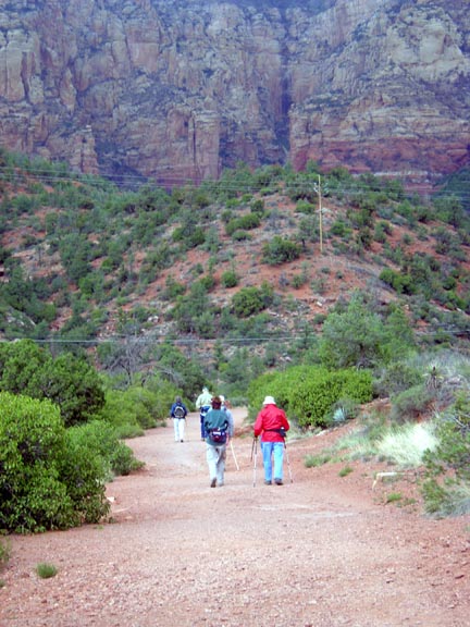
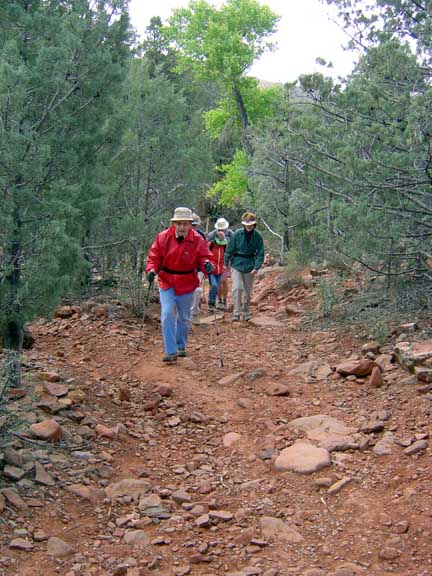
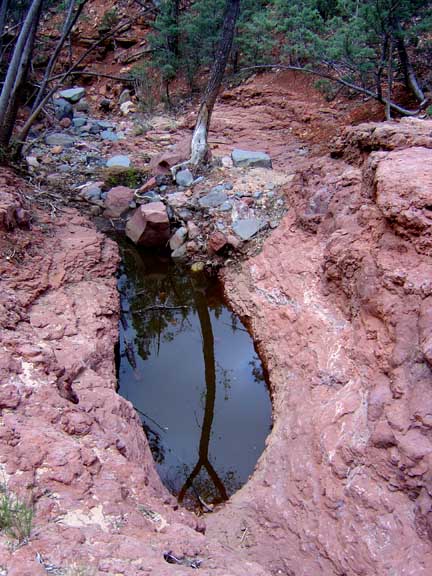
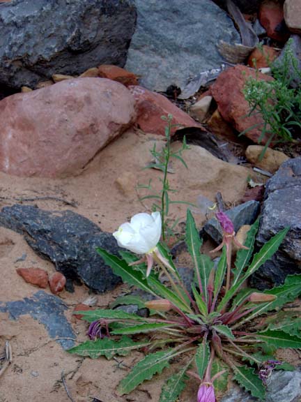
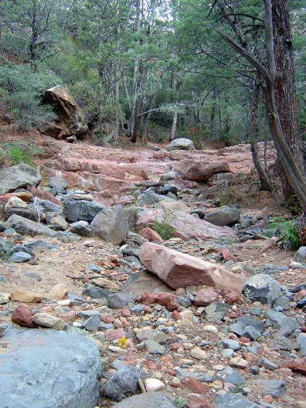
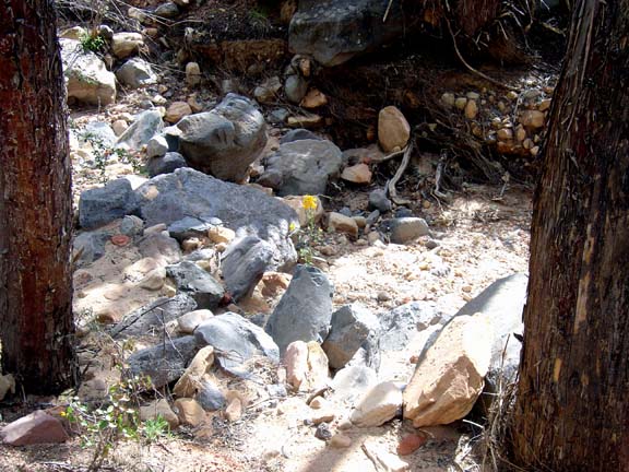
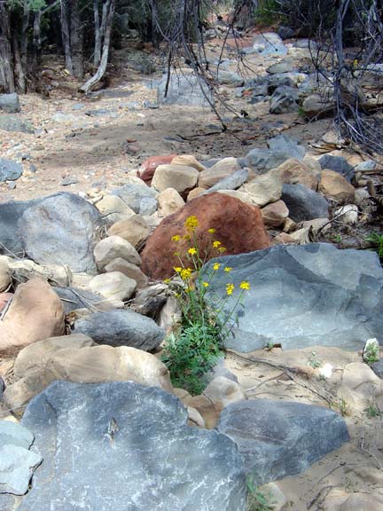
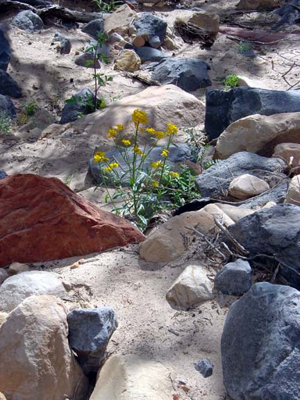
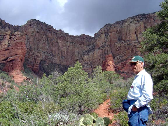
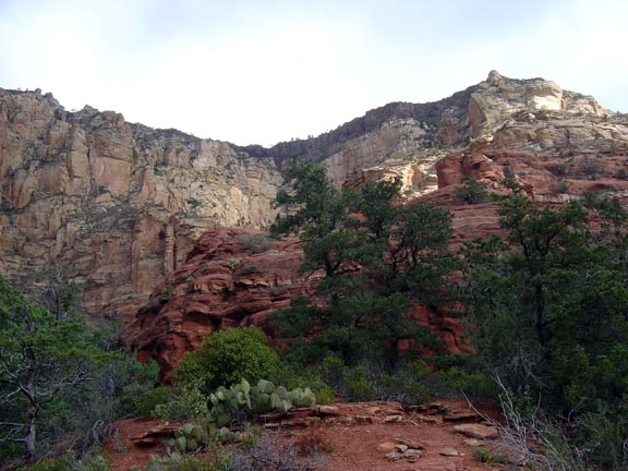
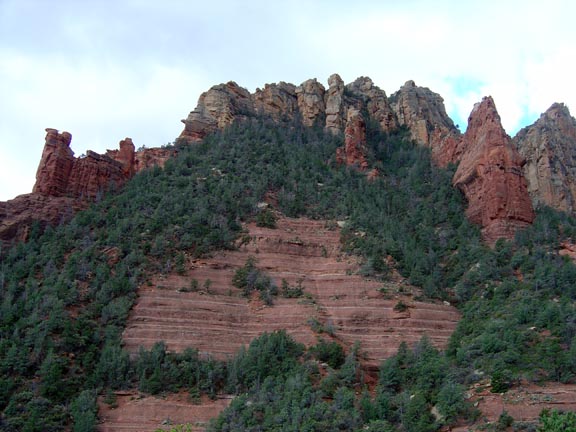
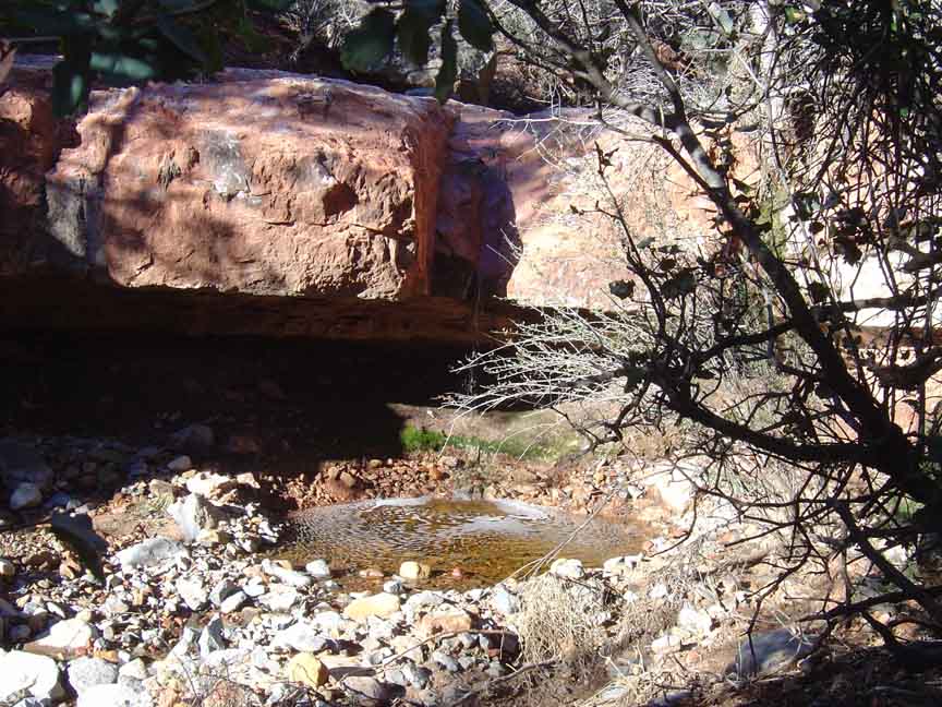
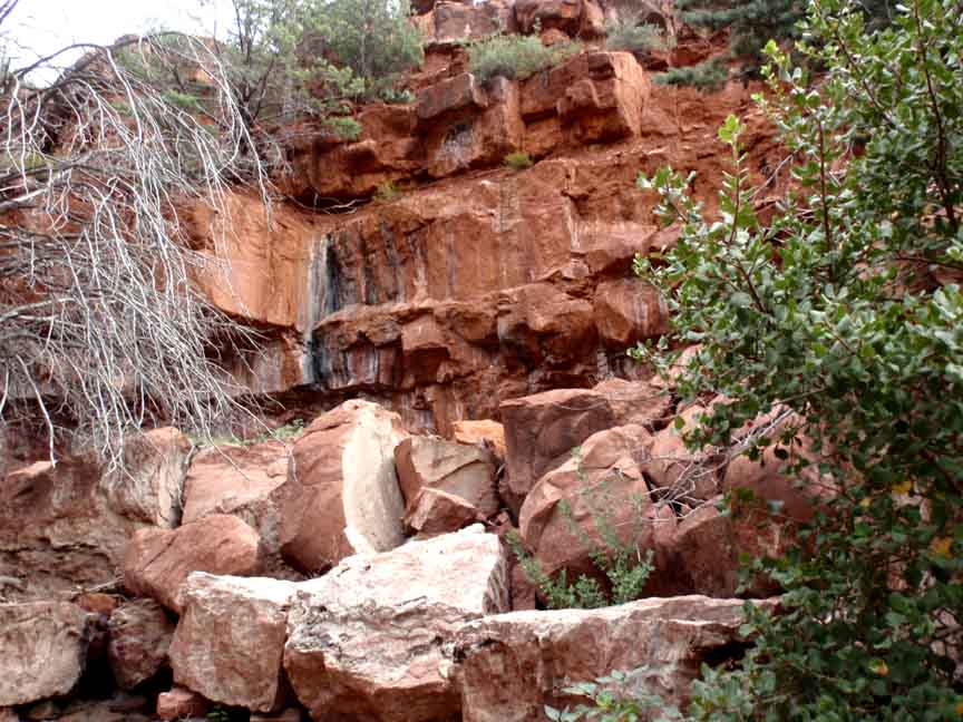
Description: At first the trail is wide but narrows further on. At about � mile you�ll intersect the end of the Jim Thompson Trail. The trail crosses the bottom of the canyon about a dozen times as it winds in about 1.4 miles. And the red rock views are near the end of the hike because there are Arizona cypress blocking many of the views before that. The shade makes this a good choice for a summer hike.
Here's a link to a video from a January hike (http://youtu.be/hdWPDc2KfPc)
And here's a link to a video from a May hike (http://youtu.be/FS6Sug444FU)


For those of you who have a GPS unit, I have GPS data available for the hike which include "tracks," the route and waypoints.
Great Sedona Hikes
Last Updated March 31, 2021
Web Page by Bill Bohan (hikebook@greatsedonahikes.com)
send an email
with your comments/suggestions to Bill