
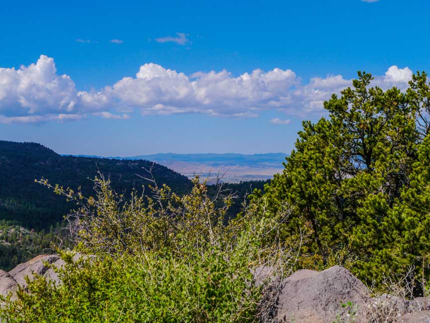
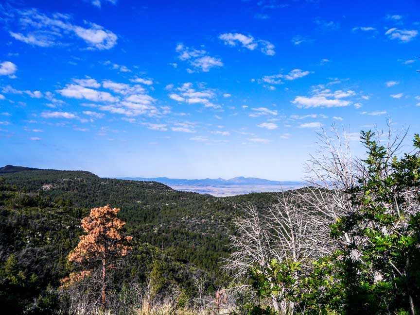
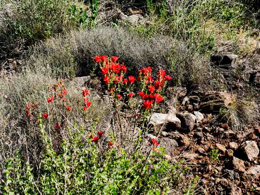
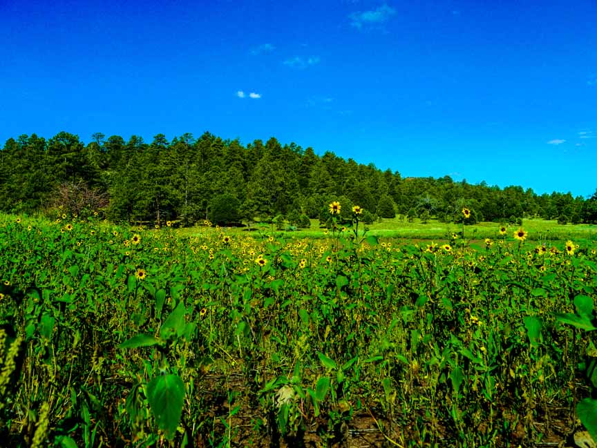
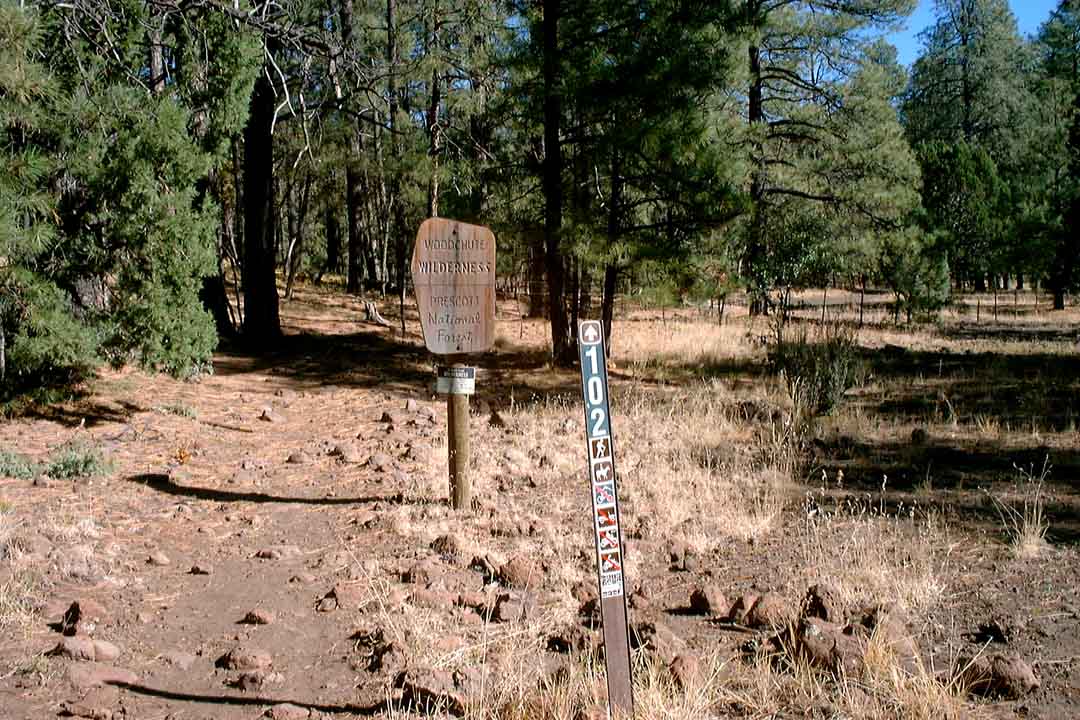
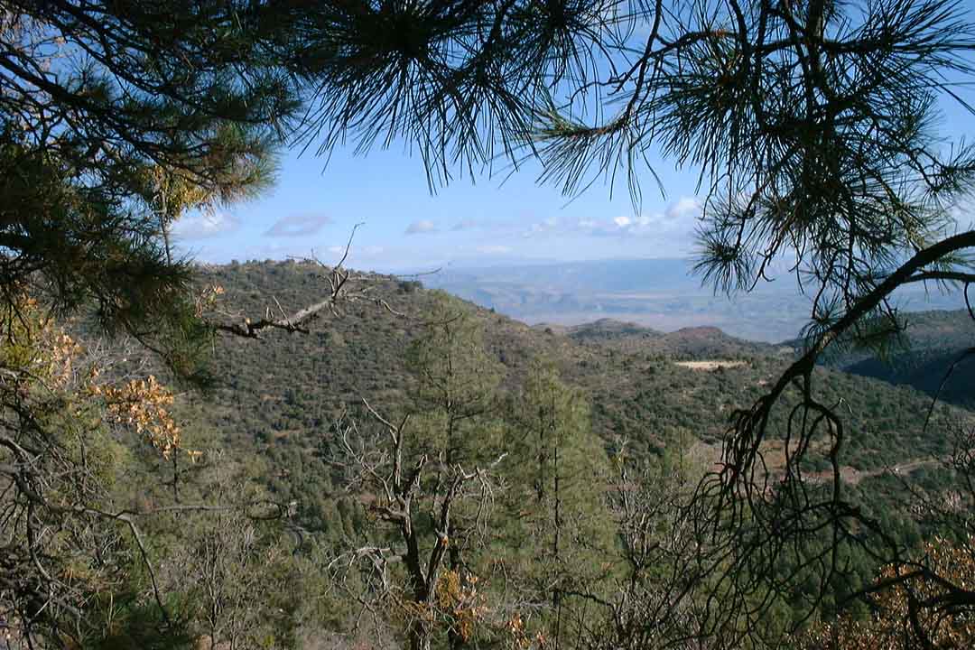
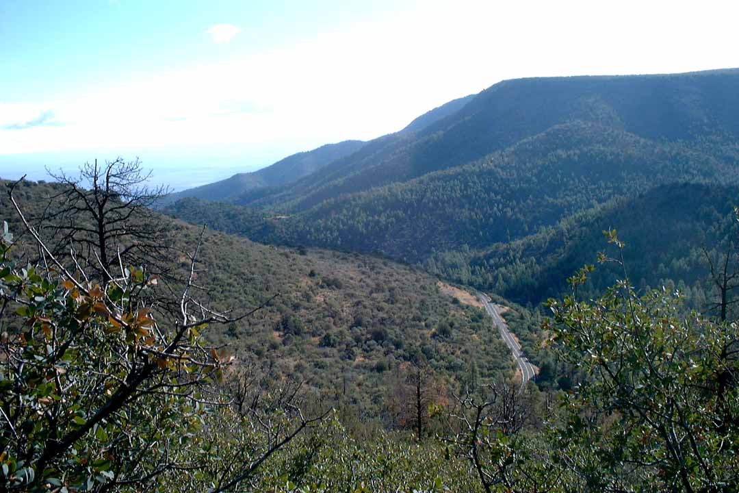
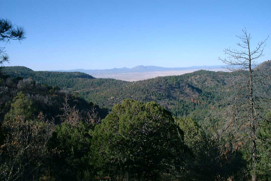
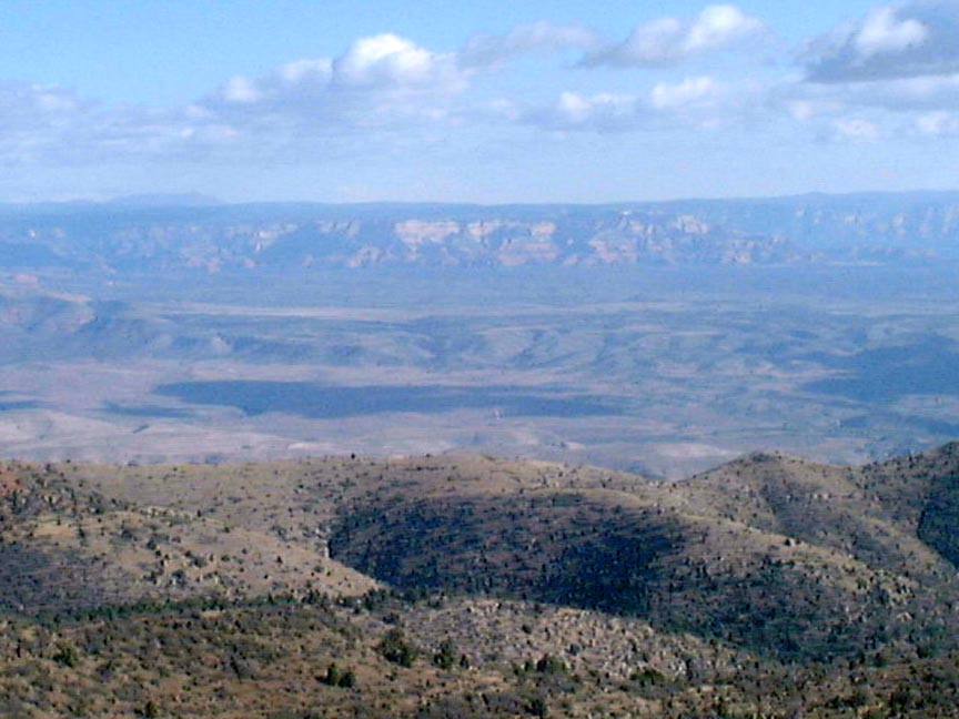
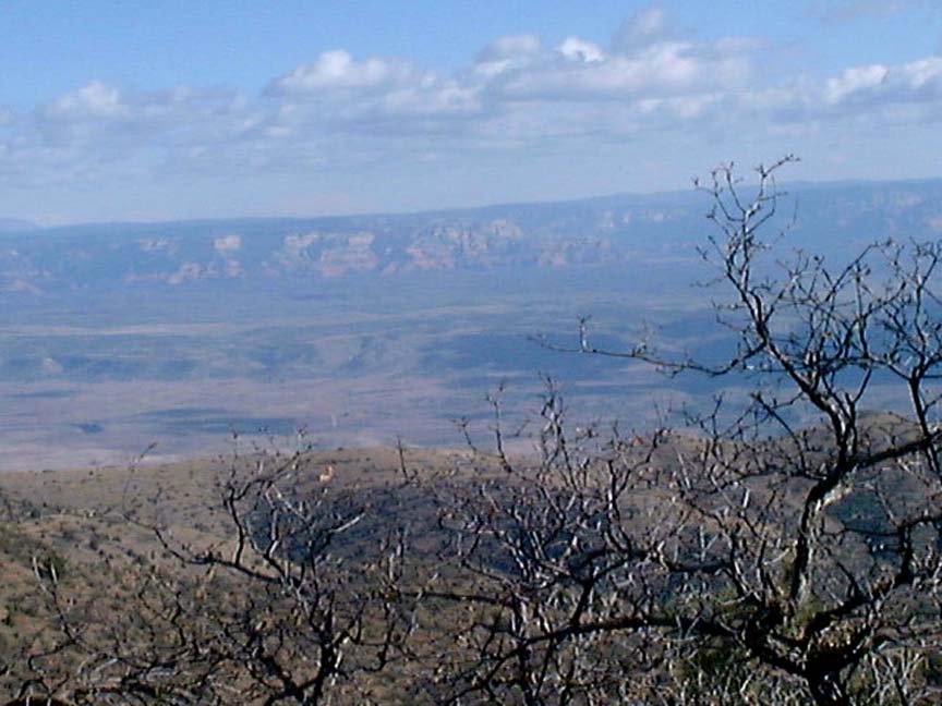
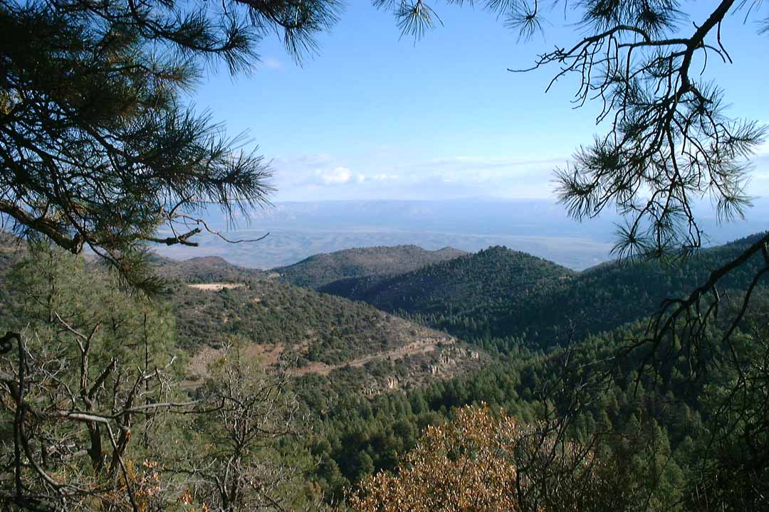
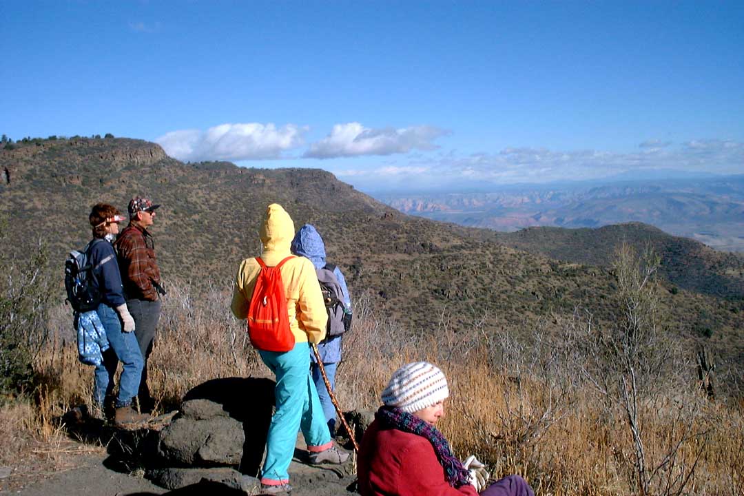
Summary: A hike near Jerome with wonderful distant views of the Sedona red rocks
Challenge Level: Easy to Moderate
Hiking Distance: About 2 miles each way; 4 miles round trip
Trailhead Directions: Drive west on
SR 89A for 34 1/4 miles. You'll be turning on to a road that is 7 1/2 miles past
the fire station in Jerome. Turn right on to the road at mile marker 335.6. Proceed for 0.3 mile
on this paved road and make a left at the fork. After 0.1 mile on a gravel road
you'll come to a toilet and see a road off to the right. Follow this road for
about 0.7 mile to the trailhead parking area. You won't need a Red Rock
Pass because this parking area is well outside the Red Rock area. If the gate is
closed, park and walk
down the road for 0.7 mile to the start of the trail.
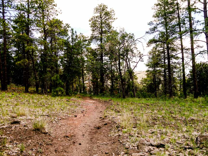
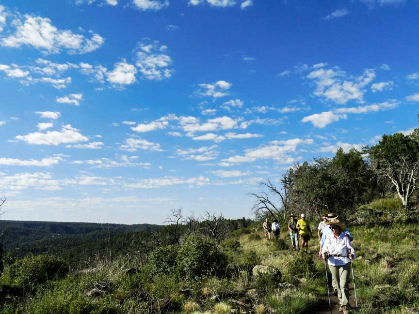
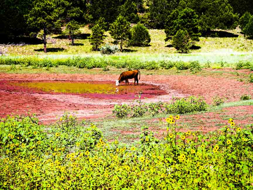
Description: You'll drive quite a distance for this hike (about 34 miles from the "Y") but the views from up high of the red rocks in Sedona are worth it. Because of the elevation (some 7200 feet), this hike is likely to be cooler in summer than the hikes around Sedona. We saw a lone cow on our August 2013 hike.
For those of you who have a GPS unit, I have GPS data available for the hike which include "tracks," the route and waypoints.
Great Sedona Hikes
Last Updated March 31, 2021
Web Page by Bill Bohan (hikebook@greatsedonahikes.com)
send an email
with your comments/suggestions to Bill