

NOTE: The following summary information is to help with hike selection and is not intended to be used for hiking the trail. For your safety and enjoyment, please obtain a copy of Sedona Hiking Guide which is available here.
Summary: A pleasant hike starting near the Red Rock Ranger Station along Dry Beaver Creek to a rocky destination
Challenge Level: Moderate
Hiking Distance: About 2 1/2 miles each way; 5 miles round trip
Trailhead Directions: The parking area is located on SR 179 at the Ranger Station.
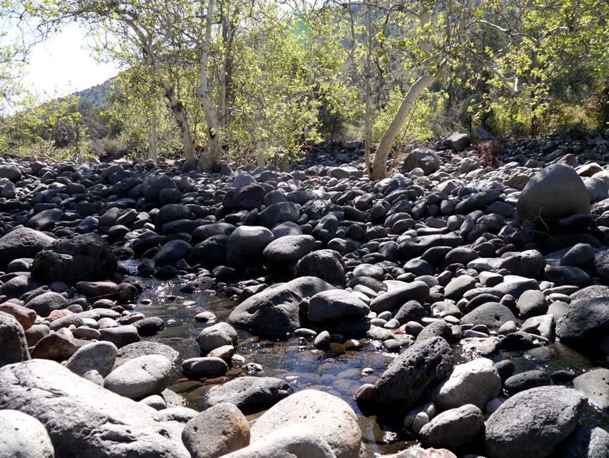
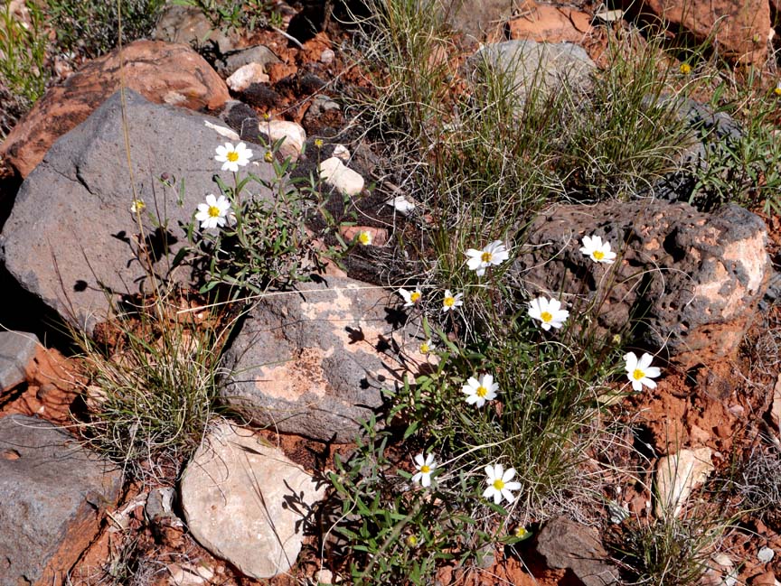
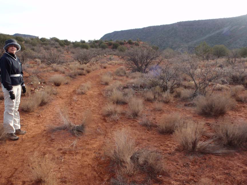
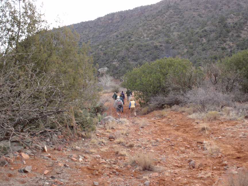
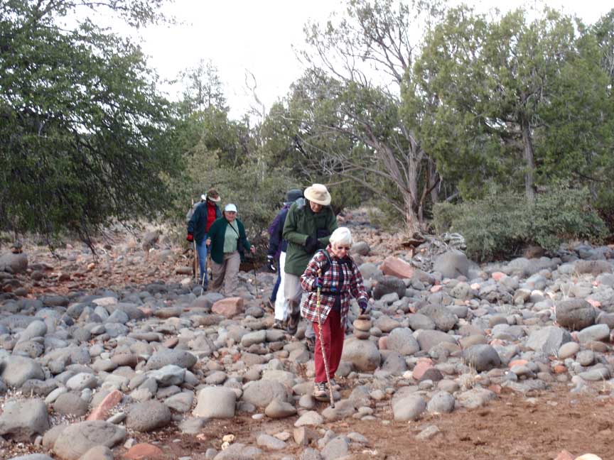
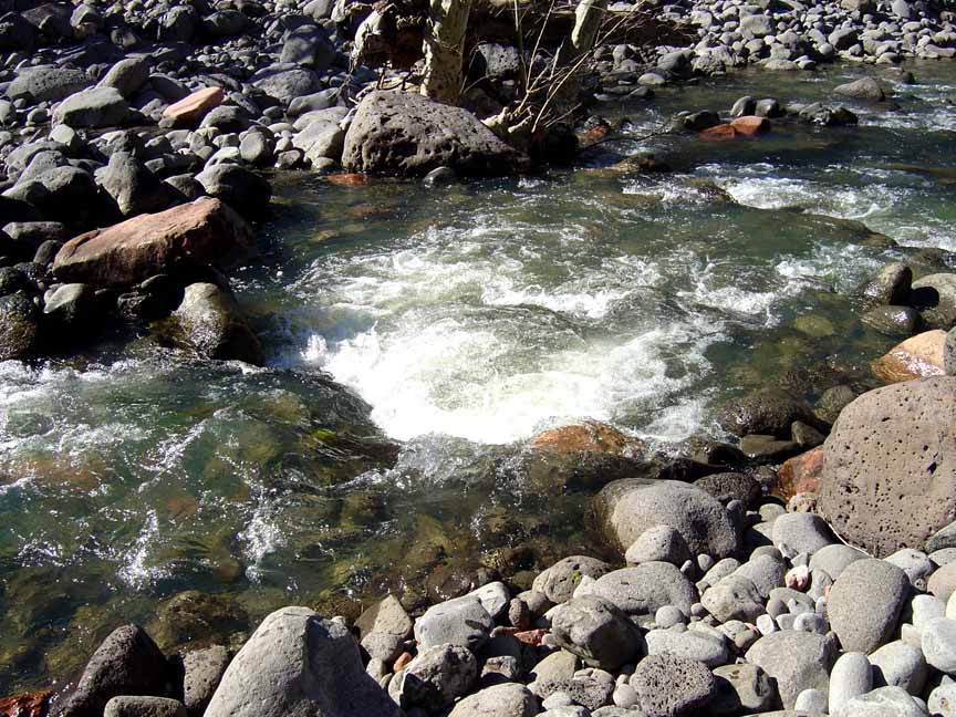
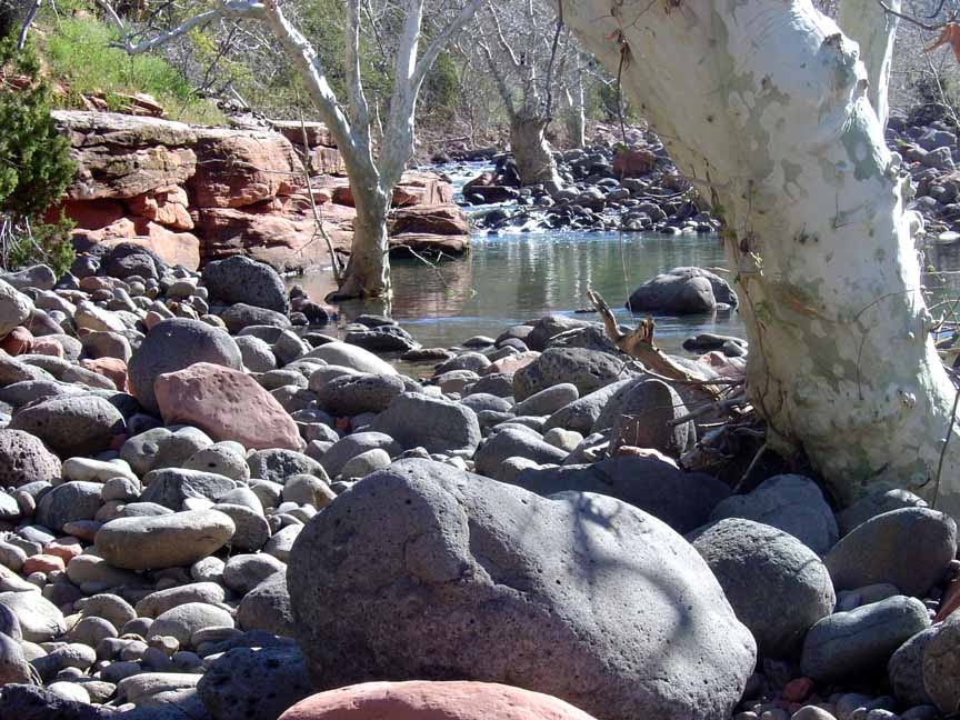
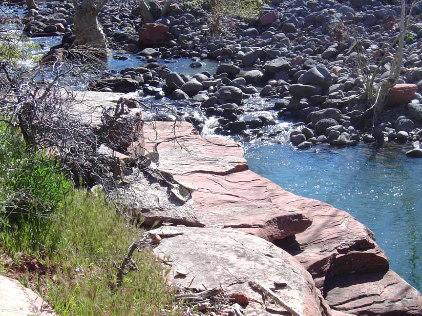
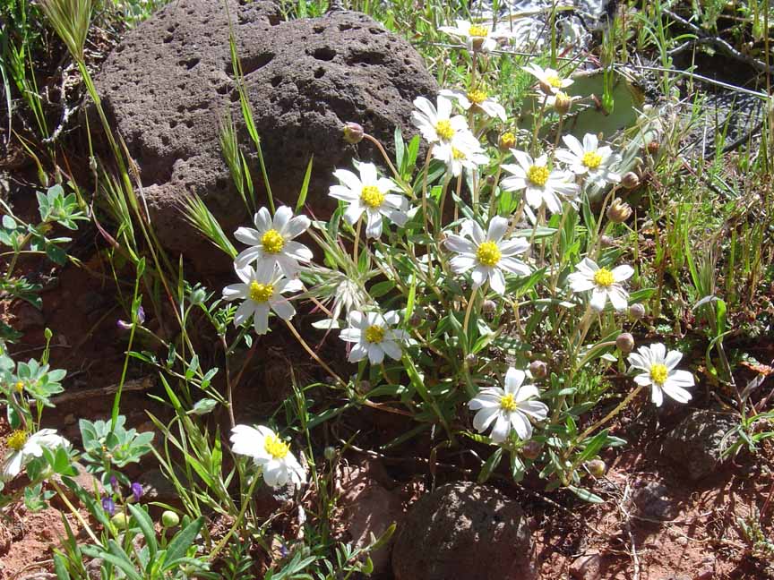
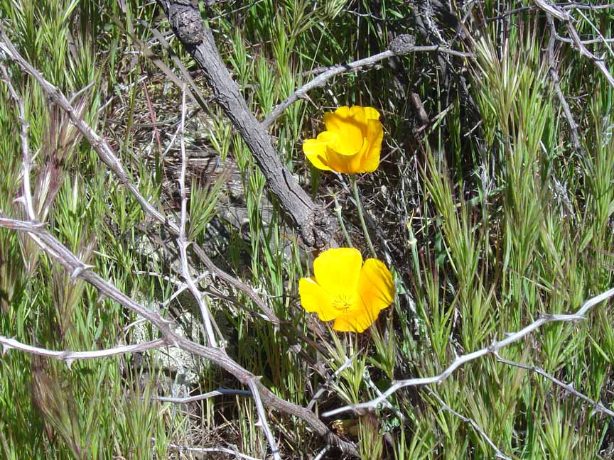
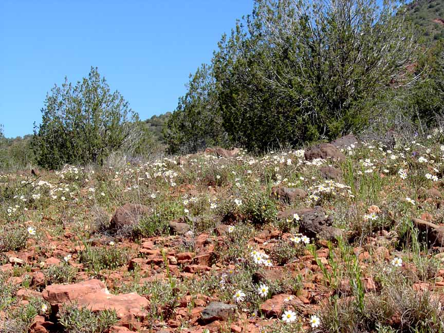
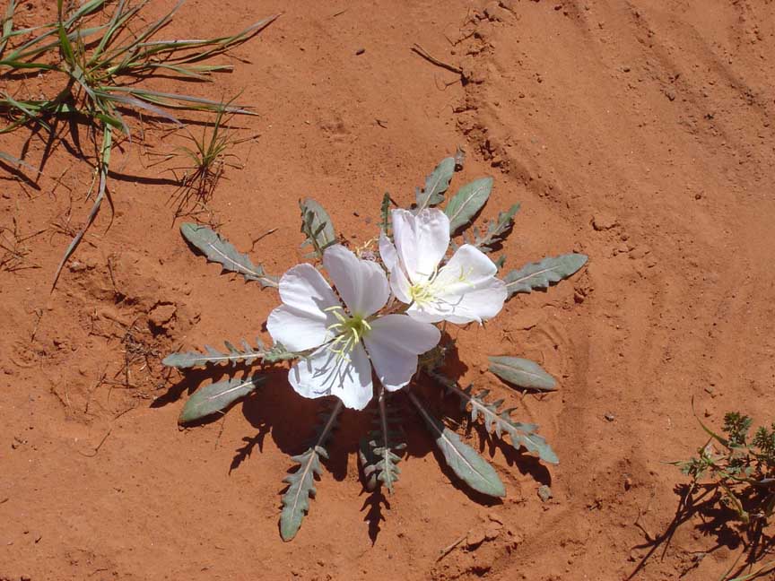
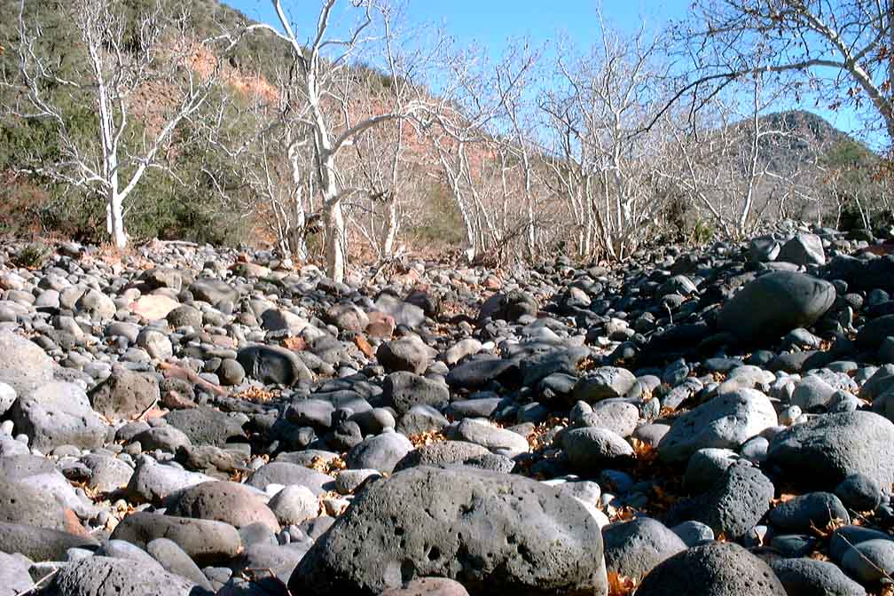
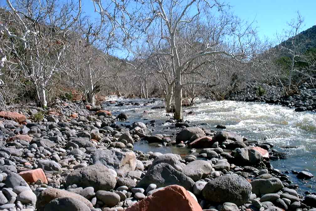
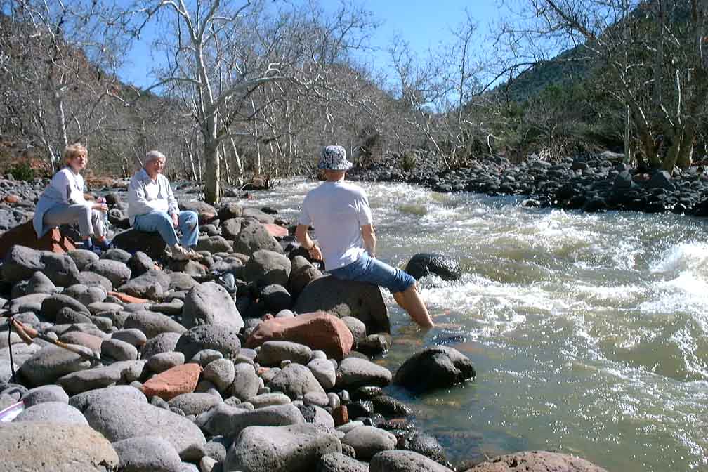
Description: Just after you begin the trail you will cross a small creek which may have water in it. The trail proceeds up a canyon and follows the path of Dry Beaver Creek. You'll intersect the Hot Loop Trail about 2 miles in. Continue straight on Woods Canyon and you'll come to an area on the left with large river rocks. We usually stop there but the trail continues on, becoming more difficult the further you go. At certain times of the year the wildflowers are in abundance.
Here's a link to a video of the wildflowers we saw in April 2014 (http://youtu.be/uTdDpSZpY5c).
And here's link to our more recent February 2015 hike (http://youtu.be/xTOGwmXpHHo)


For those of you who have a GPS unit, I have GPS data available for the hike which include "tracks," the route and waypoints.
Great Sedona Hikes
Last Updated March 31, 2021
Web Page by Bill Bohan (hikebook@greatsedonahikes.com)
send an email
with your comments/suggestions to Bill